Marker Logo HMdb.org THE HISTORICAL
MARKER DATABASE
“Bite-Size Bits of Local, National, and Global History”
Dover in Kent County, Delaware — The American Northeast (Mid-Atlantic)
 

State House


State House Marker image. Click for full size.
Photographed By Bill Pfingsten, December 15, 2010
1. State House Marker
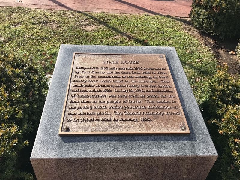
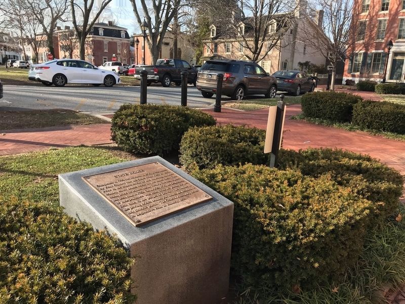
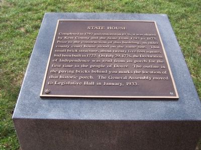
Inscription. Completed in 1792 and restored in 1976, it was shared by Kent County and the State from 1792 to 1873. Prior to the construction of this building, an older county court house stood on the same site. That small brick structure, about twenty five feet square, had been built in 1722. On July 29, 1776, the Declaration of Independence was read from its porch for the first time to the people of Dover. The outline in the paving bricks behind you marks the location of that historic porch. The General Assembly moved to Legislative Hall in January, 1933.
 
Topics. This historical marker is listed in these topic lists: Government & PoliticsNotable Buildings. A significant historical month for this entry is January 1933.
 
Location. 39° 9.388′ N, 75° 31.38′ W. Marker is in Dover, Delaware, in Kent County. Marker is on The Green. Marker is at the east end of The Green. Touch for map. Marker is in this post office area: Dover DE 19901, United States of America. Touch for directions.
 
Other nearby markers. At least 8 other markers are within walking distance of this marker. Delaware's Struggle for Women's Right to Vote (within shouting distance of this marker); The Green (within shouting distance of this marker); Delaware Decides (within shouting distance of this marker); The Delaware Line (within shouting distance of this marker); Ridgely House (within
Paid Advertisement
Click on the ad for more information.
Please report objectionable advertising to the Editor.
Click or scan to see
this page online
shouting distance of this marker); An Army of Restoration (CCC) (within shouting distance of this marker); John Bell House (within shouting distance of this marker); Kent County Courthouses (1680-1983) (within shouting distance of this marker). Touch for a list and map of all markers in Dover.
 
State House Marker image. Click for full size.
Photographed By Adam Margolis, January 19, 2022
2. State House Marker
State House Marker image. Click for full size.
Photographed By Adam Margolis, January 19, 2022
3. State House Marker
Old State House image. Click for full size.
Photographed By Bill Pfingsten, December 15, 2010
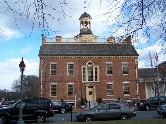
4. Old State House
Note the Blue Hen on the windvane.
 
 
Credits. This page was last revised on January 20, 2022. It was originally submitted on December 17, 2010, by Bill Pfingsten of Bel Air, Maryland. This page has been viewed 716 times since then and 8 times this year. Photos:   1. submitted on December 17, 2010, by Bill Pfingsten of Bel Air, Maryland.   2, 3. submitted on January 19, 2022, by Adam Margolis of Mission Viejo, California.   4. submitted on December 17, 2010, by Bill Pfingsten of Bel Air, Maryland.
Share this page.  
Share on Tumblr
m=39073

CeraNet Cloud Computing sponsors the Historical Marker Database.
This website earns income from purchases you make after using our links to Amazon.com. We appreciate your support.
Paid Advertisements
Mar. 19, 2024