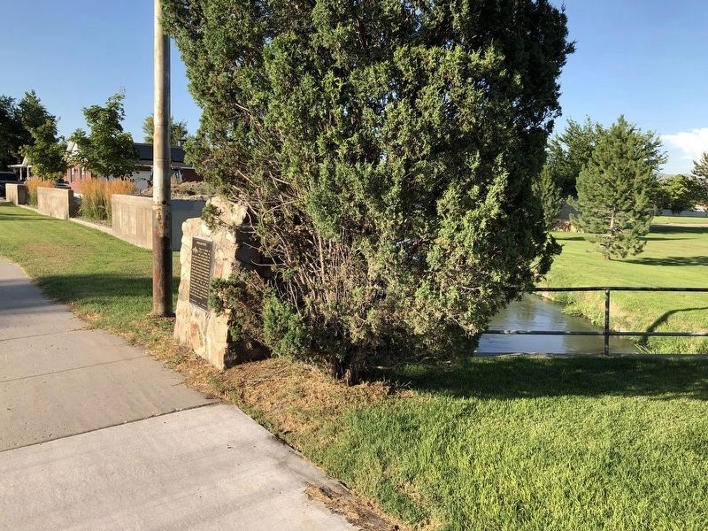
Taylorsville in Salt Lake County, Utah — The American Mountains (Southwest)
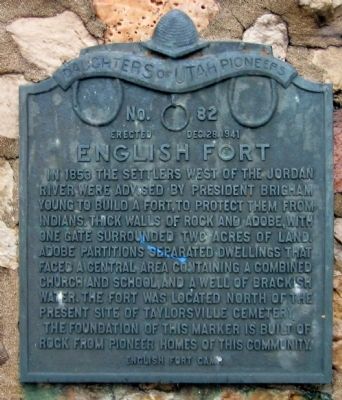
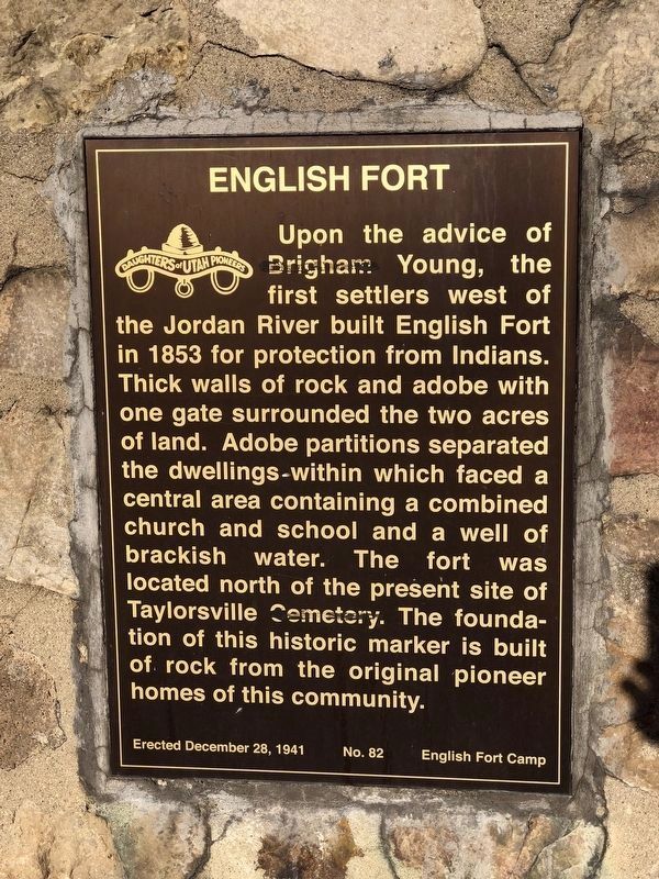
English Fort
Erected 1941 by Daughters of Utah Pioneers. (Marker Number 82.)
Topics and series. This historical marker is listed in these topic lists: Churches & Religion • Forts and Castles. In addition, it is included in the Daughters of Utah Pioneers series list. A significant historical year for this entry is 1853.
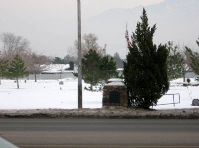
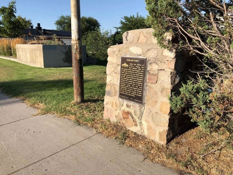
Location. 40° 40.233′ N, 111° 56.317′ W. Marker is in Taylorsville, Utah, in Salt Lake County. Marker is on South Redwood Road (Utah Route 68) 0.1 miles north of Conifer Way, on the right when traveling north. On the grounds of Taylorsville Cemetery near Independent Professional Services. Touch for map. Marker is at or near this postal address: 4560 South Redwood Road, Salt Lake City UT 84123, United States of America. Touch for directions.
Other nearby markers. At least 8 other markers are within 4 miles of this marker, measured as the crow flies. Millrace (approx. 1.3 miles away); Carlisle Family Historical Marker (approx. 1˝ miles away); Major General George P. Holm (approx. 1˝ miles away); The Old School House (approx. 2.2 miles away); Hastings Cutoff - Utah Outlet (Jordan River) (approx. 3 miles away); Early Granger Schools (approx. 3.1 miles away); Monroe Community School (approx. 3.1 miles away); Pony Express Station (approx. 3.3 miles away). Touch for a list and map of all markers in Taylorsville.
Credits. This page was last revised on August 19, 2019. It was originally submitted on February 12, 2011, by Jack Duffy of West Jordan, Utah. This page has been viewed 898 times since then and 32 times this year. Last updated on August 4, 2019, by Andrew Johnson of Salt Lake City, Utah. Photos: 1. submitted on February 12, 2011, by Jack Duffy of West Jordan, Utah. 2. submitted on August 4, 2019, by Andrew Johnson of Salt Lake City, Utah. 3. submitted on February 12, 2011, by Jack Duffy of West Jordan, Utah. 4, 5. submitted on August 4, 2019, by Andrew Johnson of Salt Lake City, Utah. • Bill Pfingsten was the editor who published this page.
