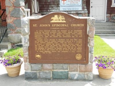
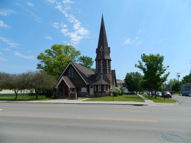
St, John's Episcopal Church
Episcopal church services in Moorhead date from 1872 when the Reverend James A. Gilfillan conducted a service in a Northern Pacific Railroad passenger coach. With the arrival of Benjamin F. Mackall, a licensed lay reader, regular services began on May 13, 1873.. When the parish was organized in 1875, Mackall was elected Senior Warden, an office he held for 62 years. The movement to construct the present church was led by Mackall and W.H. Davy, who donated the land on which St. John;s stands.
St. John's Episcopal Church was designated a State Historic Site in 1967.
Erected 1967 by Minnesota Historical Society.
Topics and series. This historical marker is listed in this topic list: Churches & Religion. In addition, it is included in the Minnesota Historical Society series list. A significant historical month for this entry is February 1700.
Location. 46° 52.377′ N, 96° 46.057′ W. Marker is in Moorhead, Minnesota, in Clay County. Marker is at the intersection
Other nearby markers. At least 8 other markers are within walking distance of this marker. The Solomon Gilman Comstock House (approx. ¼ mile away); The First Bridge over the Red River (approx. 0.3 miles away); Douglas House (approx. 0.3 miles away); Veterans Memorial Bridge (approx. 0.4 miles away); Red River Transportation / A Busy Port (approx. 0.4 miles away); 'The Next Great City' (approx. half a mile away in North Dakota); Gasoline Horsepower (approx. half a mile away in North Dakota); Replica of the Statue of Liberty (approx. 0.6 miles away in North Dakota). Touch for a list and map of all markers in Moorhead.
Credits. This page was last revised on June 16, 2016. It was originally submitted on June 27, 2011, by Bill Pfingsten of Bel Air, Maryland. This page has been viewed 783 times since then and 22 times this year. Photos: 1, 2. submitted on June 27, 2011, by Bill Pfingsten of Bel Air, Maryland.

