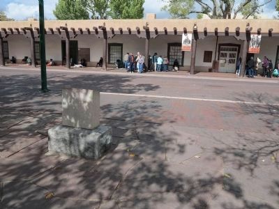
Santa Fe in Santa Fe County, New Mexico — The American Mountains (Southwest)
Annexation of New Mexico
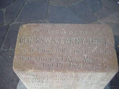
Gen. S. W. Kearney, U.S.A.
proclaimed the peaceable
annexation of New Mexico.
Aug. 19, 1846.
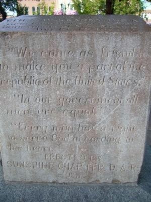
Erected 1901 by Sunshine Chapter, D.A.R.
Topics and series. This historical marker is listed in these topic lists: Exploration • War, Mexican-American. In addition, it is included in the Daughters of the American Revolution series list. A significant historical month for this entry is August 1822.
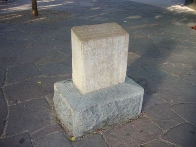
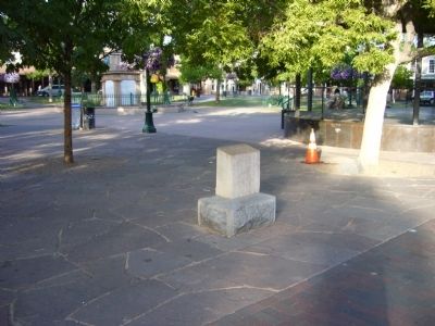
Location. 35° 41.258′ N, 105° 56.292′ W. Marker is in Santa Fe, New Mexico, in Santa Fe County. Marker is at the intersection of East Palace Avenue and Old Santa Fe Trail, on the left when traveling west on East Palace Avenue. Marker is in the northeast corner of Santa Fe Plaza. Touch for map. Marker is in this post office area: Santa Fe NM 87501, United States of America. Touch for directions.
Other nearby markers. At least 8 other markers are within walking distance of this marker. El Palacio Real (here, next to this marker); Cut Stone Facade with Quoin (a few steps from this marker); Site of Santa Fe’s First Chapel (within shouting distance of this marker); To the Heroes (within shouting distance of this marker); Hitching Post at the End of the Trail (within shouting distance of this marker); End of Santa Fe Trail (within shouting distance of this marker); U.S.S. Santa Fe CL-60 (within shouting distance of this marker); The Spitz Clock (within shouting distance of this marker). Touch for a list and map of all markers in Santa Fe.
Also see . . .
1. Mexican-American War. Wikipedia article on the Mexican-American War providing the context for the "annexation" described on the marker. (Submitted on October 31, 2013, by Richard Denney of Austin, Texas.)
2. Stephen W. Kearny. Both spellings -- Kearny and Kearney -- are found in historical sources. (Submitted on October 31, 2013, by Richard Denney of Austin, Texas.)
Credits. This page was last revised on June 16, 2016. It was originally submitted on August 4, 2011, by Bill Kirchner of Tucson, Arizona. This page has been viewed 919 times since then and 29 times this year. Photos: 1, 2, 3, 4. submitted on August 4, 2011, by Bill Kirchner of Tucson, Arizona. 5. submitted on October 31, 2013, by Richard Denney of Austin, Texas. • Bernard Fisher was the editor who published this page.
