Near Syria in Madison County, Virginia — The American South (Mid-Atlantic)
A Rather Biggish Establishment
A Rather
biggish establishment
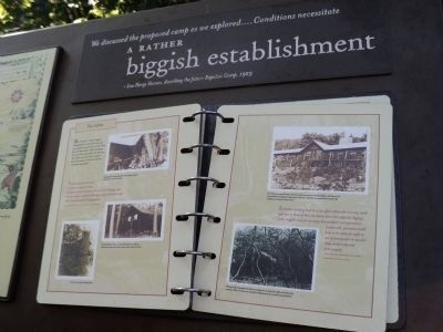
- Lou Henry Hoover, describing the future Rapidan Camp, 1929
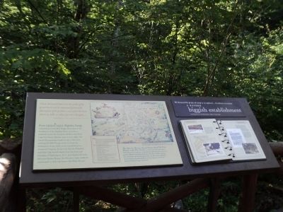
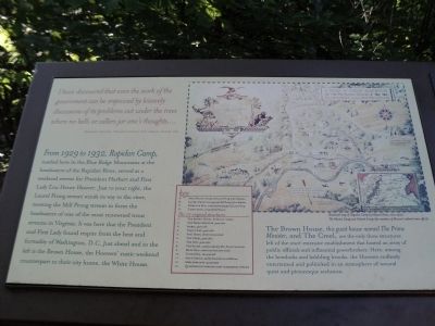
I have discovered that even the work of the government can be improved by leisurely discussions of its problems out under the trees where no bells or callers jar one’s thoughts . . . .
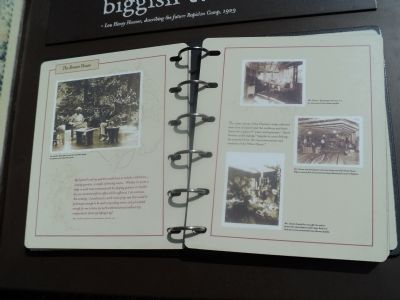
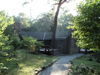
From 1929 to 1932, Rapidan Camp, nestled here in the Blue Ridge Mountains at the headwaters of the Rapidan River, served as a weekend retreat for President Herbert and First Lady Lou Henry Hoover. Just to your right, the Laurel Prong stream winds its way to the river, meeting the Mill Prong stream to form the headwaters of one of the most renowned trout streams in Virginia. It was here that the President and First Lady found respite from the heat and formality of Washington, D.C. Just ahead and to the left is the Brown House, the Hoovers’ rustic weekend counterpart to their city home, the White House.
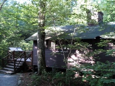
The Brown House, this guest house named The Prime Minister, and The Creel, are the only three structures left of the once-extensive establishment that hosted an array of public officials and influential powerbrokers. Here, among the hemlocks and babbling brooks, the Hoovers endlessly entertained and politicked in an atmosphere of natural quiet and picturesque seclusion.
Erected by National Park Service, U.S. Department of the Interior.
Topics and series. This historical marker is listed in these topic lists: Government & Politics • Notable Places. In addition, it is included in the Former U.S. Presidents: #31 Herbert Hoover series list. A significant historical year for this entry is 1929.
Location. 38° 29.42′ N, 78° 25.202′ W. Marker is near Syria, Virginia, in Madison County. Marker can be reached from Rapidan Road, on the left when traveling west. Marker is located at Rapidan Camp in Shenandoah National Park, at the end the Rapidan Fire Road. Touch for map. Marker is in this post office area: Syria VA 22743, United States of America. Touch for directions.
Other nearby markers. At least 8 other markers are within walking distance of this marker. The Prime Minister’s Cabin (a few steps from this marker); Mountain Streams in the Camp (a few steps from this marker); Recreational Pursuits (within shouting distance of this marker); Famous Town Hall Visitors (within shouting distance of this marker); Town Hall (within shouting distance of this marker); Town Hall on Town Hall (within shouting distance of this marker); The President’s Quarters (within shouting distance of this marker); Camp Hoover (within shouting distance of this marker). Touch for a list and map of all markers in Syria.
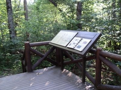
More about this marker. The top of the marker contains A Map of Camp Rapidan, The Summer Retreat of The President of the United States, and a smaller Map of the Camp in relation to Washington and Shenandoah National Park. It contains a caption of “Illustrated map of Rapidan Camp by Edward Stone, circa 1930. The Marine Camp and Cabinet Camp (for members of Hoover’s cabinet) were off site.” Indicated on the map are the locations of the marker, the 13 original structures, and various streams.
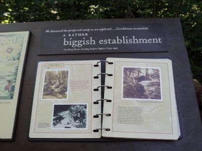
The lower right of the marker contains turnable pages containing photographs and quotes on topics such as The Cabins, The Brown House, and Outdoor Spaces. Included is the text “Though both Hoovers values the restorative powers of nature, they were not averse to improving upon it. After choosing the Rapidan site, they carefully manipulated and enhanced its natural elements – terrain, boulders, water, and plantings. Their greatest natural artifice – Hemlock Run, just to your left – was created by diverting part of Laurel Prong so that its waters flowed through the heart of the camp in cascading layers, forming waterfalls and feeding the stocked trout pond you see in front of you. The Hoovers fed the trout each evening.”
Also see . . .
1. President Herbert and Lou Henry Hoover's Rapidan Camp. National Park Service website. (Submitted on August 5, 2011, by Bill Coughlin of Woodland Park, New Jersey.)
2. Biography of Herbert Hoover. The White House website. (Submitted on August 5, 2011, by Bill Coughlin of Woodland Park, New Jersey.)
Credits. This page was last revised on November 1, 2020. It was originally submitted on August 5, 2011, by Bill Coughlin of Woodland Park, New Jersey. This page has been viewed 482 times since then and 12 times this year. Photos: 1, 2, 3, 4, 5, 6, 7, 8, 9. submitted on August 5, 2011, by Bill Coughlin of Woodland Park, New Jersey.
