Kouts in Porter County, Indiana — The American Midwest (Great Lakes)
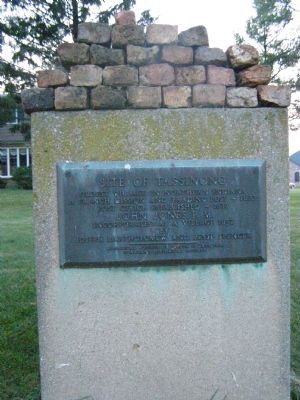
Site of Tassinong
A French mission and Trading Post - 1673
Post Office Established - 1837
John Jones, P.M.
Incorporated as a Village 1852
by
Joseph Bartholomew and Jesse Spencer
Erected by Historical Society of Porter County, Duneland Historical Society.
Topics. This historical marker is listed in these topic lists: Communications • Settlements & Settlers. A significant historical year for this entry is 1673.
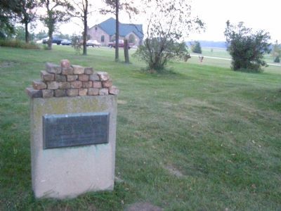
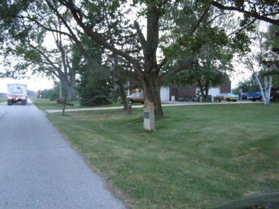
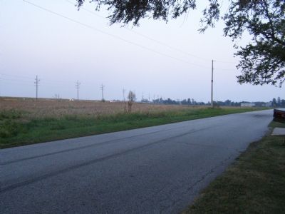
Location. 41° 20.981′ N, 87° 1.674′ W. Marker is in Kouts, Indiana, in Porter County. Marker is on Baums Bridge Road near State Road 49, on the left when traveling north. Located under the trees along the road, in the front yard of a house. Touch for map. Marker is in this post office area: Kouts IN 46347, United States of America. Touch for directions.
Other nearby markers. At least 8 other markers are within 9 miles of this marker, measured as the crow flies. Historical Society of Porter County Old Jail Museum (approx. 8.3 miles away); Porter County Memorial Hall (approx. 8.3 miles away); Porter County (Indiana) Veterans (approx. 8.3 miles away); The story of Orville Redenbacher and Charlie Bowman (approx. 8.3 miles away); Old Sac Trail (approx. 8.4 miles away); The Lincoln Highway (approx. 8.4 miles away); Site of the First School House in Valparaiso 1837 (approx. 8.4 miles away); Kirchhoff Park (approx. 8˝ miles away).
Also see . . . "Polling Down the Kankakee River" ::. Courtesy the "Kankakee Valley Historical Society" - - a fine historical overview of the Kankakee River. (Submitted on June 6, 2011.)
Credits. This page was last revised on November 19, 2019. It was originally submitted on January 9, 2008, by Christopher Light of Valparaiso, Indiana. This page has been viewed 3,828 times since then and 78 times this year. Photos: 1, 2, 3, 4. submitted on January 9, 2008, by Christopher Light of Valparaiso, Indiana. • Kevin W. was the editor who published this page.


