Hutto in Williamson County, Texas — The American South (West South Central)
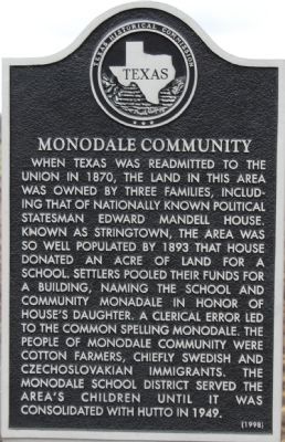
Monodale Community
When Texas was readmitted to the Union in 1870, the land in this area was owned by three families, including that of nationally known political statesman Edward Mandell House. Known as Stringtown, the area was so well populated by 1893 that House donated an acre of land for a school. Settlers pooled their funds for a building, naming the school and community Monadale in honor of House's daughter. A clerical error led to the common spelling Monodale. The people of Monodale community were cotton farmers, chiefly Swedish and Czechoslovakian immigrants. The Monodale School District served the area's children until it was consolidated with Hutto in 1949.
Erected 1998 by Texas Historical Commission. (Marker Number 12303.)
Topics. This historical marker is listed in this topic list: Settlements & Settlers. A significant historical year for this entry is 1870.
Location. 30° 35.375′ N, 97° 32.052′ W. Marker is in Hutto, Texas, in Williamson County. Marker is on CR-133. Touch for map. Marker is in this post office area: Hutto TX 78634, United States of America. Touch for directions.
Other nearby markers. At least 8 other markers are within 5 miles of this marker, measured as the crow flies. Hutto Evangelical Lutheran Church (approx. 3 miles away); Hutto (approx. 3.3 miles away); Community of Jonah (approx. 3˝ miles away); Jonah Cemetery (approx. 3˝ miles away); Wilson Springs Cemetery (approx. 4.2 miles away); Hutto Baptist Church (approx. 4˝ miles away); Hutto Lutheran Cemetery (approx. 4.7 miles away); Hutto Cemetery (approx. 4.8 miles away). Touch for a list and map of all markers in Hutto.
Credits. This page was last revised on November 29, 2020. It was originally submitted on January 14, 2008, by Keith Peterson of Cedar Park, Texas. This page has been viewed 970 times since then and 26 times this year. Photos: 1, 2. submitted on January 14, 2008, by Keith Peterson of Cedar Park, Texas. • Craig Swain was the editor who published this page.

