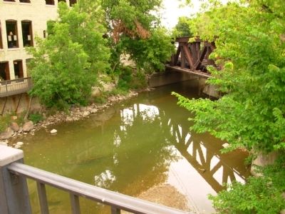
Wauwatosa in Milwaukee County, Wisconsin — The American Midwest (Great Lakes)
Harts Mills
Inscription.
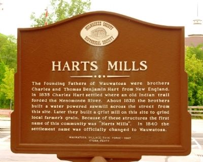
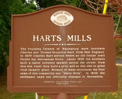
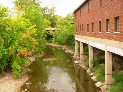
The Founding Fathers of Wauwatosa were brothers Charles and Thomas Benjamin Hart from New England. In 1835 Charles Hart settled where an old Indian trail forded the Menomonee River. About 1838 the brothers built a water powered sawmill across the street from this site. Later they built a grist mill on this site to grind local farmer’s grain. Because of these structures the first name of this community was “Harts Mills.” In 1840 the settlement name was officially changed to Wauwatosa.
(Tosa Fest)
Erected 1997 by Milwaukee County Historical Society.
Topics. This historical marker is listed in these topic lists: Industry & Commerce • Settlements & Settlers. A significant historical year for this entry is 1835.
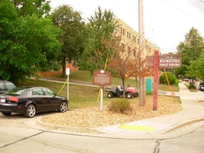
Location. 43° 2.93′ N, 88° 0.534′ W. Marker is in Wauwatosa, Wisconsin, in Milwaukee County. Marker is on Harwood Avenue east of Dewey Avenue, on the right when traveling east. Marker is located off parking lot at the end of Harwood Avenue on the west side of the railroad tracks. Touch for map. Marker is at or near this postal address: 7700 Harwood Ave, Milwaukee WI 53213, United States of America. Touch for directions.
Other nearby markers. At least 8 other markers are within walking distance of this marker. Dittmar-Robertson Building (about 400 feet away, measured in a direct line); Church Street Historic District (about 800 feet away); First Congregational Church (approx. 0.2 miles away); Thomas Benjamin Hart House (approx. 0.2 miles away); “Sunnyhill Home” (approx. 0.3 miles away); Charles Hart Homestead (approx. half a mile away); First Baptist Church (approx. half a mile away); Kneeland-Walker House (approx. half a mile away). Touch for a list and map of all markers in Wauwatosa.
Credits. This page was last revised on May 9, 2021. It was originally submitted on October 3, 2011, by Paul Fehrenbach of Germantown, Wisconsin. This page has been viewed 900 times since then and 53 times this year. Photos: 1, 2, 3, 4, 5. submitted on October 3, 2011, by Paul Fehrenbach of Germantown, Wisconsin. • Bernard Fisher was the editor who published this page.
