Bear Mountain in Rockland County, New York — The American Northeast (Mid-Atlantic)
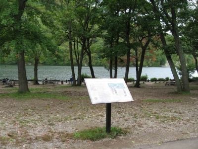
Fighting at Hessian Lake
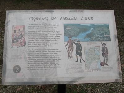
On October 6, 1777, Lieutenant General Sir Henry Clinton landed 2,100 British troops near Stony Point and marched north to attack the Continental garrisons at Forts Clinton and Montgomery. When it reached Doodletown, the advance guard of 900 men under Lieutenant Colonel Mungo Campbell proceeded around Bear Mountain to attack Fort Montgomery while the main force, under Major General John Vaughn, continued toward Fort Clinton.
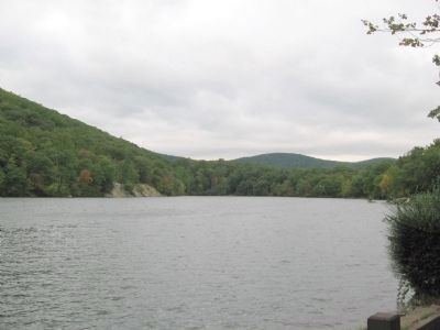
When New York Governor George Clinton, who commanded the forts, received word of the enemy's approach, he sent 50 Continental troops under Lieutenant Colonel Jacobus Bruyn and 50 militiamen under Colonel James McClaughry to Doodletown. After running into the British column, the Americans retreated until they reached a stone wall here by Hessian Lake where they held the British at bay for a short time before retreating to the fort under the cover of its cannons. After a desperate defense, the American forts were captured.
[ photo captions ]
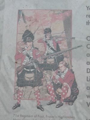
71st Regiment of Foot, Fraser's Highlanders, Major General Vaughn's force of nearly 1,200 men included one grenadier battalion, a battalion of light infantry, a company of the 71st Regiment of Foot (Fraser's Highlanders), a dismounted troop of Light Dragoons, the 26th and 63rd Regiments of Foot, and 200 Hessian Chasseurs. Image courtesy of the Company of Military Historians. Original plate by Gary Zaboly.
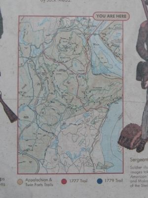
Map of the 1777 and 1779 historic trails. Based on careful research, the modern trails follow the armies' original routes as closely as possible. The trails were cleared and blazed in time for the Bicentennial celebrations in 1976. The 1777 trail represents the route taken by British General Sir Henry Clinton on October 6, 1777 when he captured Forts Clinton and Montgomery. The 1779 trail traces the route taken by Brigadier General Anthony Wayne's Continental Corps of Light Infantry which captured the British fortifications at Stony Point in a surprise attack just after midnight on July 16, 1779.
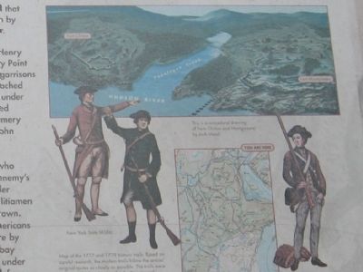
New York State Militia Sergeant, 5th New York Regiment. Soldier illustrations are based on original images taken from Uniforms of the American Revolution by John Mollo and Malcolm McGregor. Courtesy of the Sterling Publishing Company.
This is a conjectural drawing of Forts Clinton and Montgomery by Jack Mead. (Marker Number 3.)
Topics. This historical marker is listed in this topic list: War, US Revolutionary. A significant historical month for this entry is July 1862.
Location.
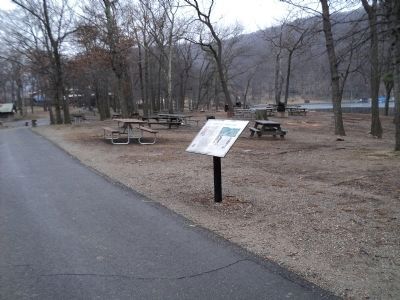
41° 18.918′ N, 73° 59.371′ W. Marker is in Bear Mountain, New York, in Rockland County. Marker is on Seven Lakes Drive, 0.2 miles north of South Entrance Road, on the left when traveling west. Located on a park road near the Pavilion, overlooking Hessian Lake. Touch for map. Marker is in this post office area: Bear Mountain NY 10911, United States of America. Touch for directions.
Other nearby markers. At least 8 other markers are within walking distance of this marker. First Fighting at Fort Clinton (within shouting distance of this marker); Walt Whitman (about 700 feet away, measured in a direct line); Indian Campsite (about 700 feet away); Appalachian Trail (approx. 0.2 miles away); Palisades Interstate Park (approx. 0.2 miles away); Orange County (approx. 0.2 miles away); Preserving a National Landmark (approx. ¼ mile away); Discover the Appalachian National Scenic Trail (approx. ¼ mile away). Touch for a list and map of all markers in Bear Mountain.
Regarding Fighting at Hessian Lake. Hessian Lake was named because it turned red from the blood of the Hessian soldiers during the battle.
Credits. This page was last revised on June 16, 2016. It was originally submitted on October 3, 2011, by Michael Herrick of Southbury, Connecticut. This page has been viewed 1,920 times since then and 110 times this year. Photos: 1, 2, 3, 4, 5, 6. submitted on October 3, 2011, by Michael Herrick of Southbury, Connecticut. 7. submitted on February 16, 2012, by Bill Coughlin of Woodland Park, New Jersey. • Bill Pfingsten was the editor who published this page.
