Newport in Newport County, Rhode Island — The American Northeast (New England)
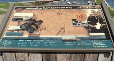
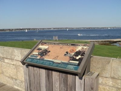
Defending Narragansett Bay
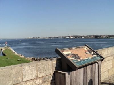
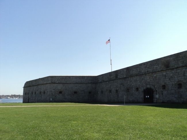
During the 19th century, Newport was the only deep water harbor between New York and Boston which could serve as a base for a large fleet of warships. Fort Adams was located at a crucial point where it could prevent the entry of enemy warships into both Newport harbor and Narragansett Bay.
[ Along Bottom of Marker : ]
59 42 Pounders 21 18 Pounders
90 32 Pounders 13 12 Pounders
98 24 Pounders 12 Field Pieces
83 Flank Howitzers 7 16-inch Stone Mortars
34 8-inch Howitzers 7 13-inch Mortars
12 10-inch Mortars 7 8-inch Mortars
25 Cohorns
--------------------------------------
468 Total Artillery Pieces
Estimated Cost of Armament Including 100 Rounds
--------------------------------------
$ 372,384.00
Erected by Fort Adams State Park.
Topics. This historical marker is listed in this topic list: Forts and Castles. A significant historical year for this entry is 1850.
Location. 41° 28.797′ N, 71° 20.199′ W. Marker is in Newport, Rhode Island, in Newport County. Marker can be reached from Fort Adams Drive, on the left when traveling north. Marker is located inside Fort Adams. Touch for map. Marker is in this post office area: Newport RI 02840, United States of America. Touch for directions.
Other nearby markers. At least 8 other markers are within walking distance of this marker. The Irish Connection to Fort Adams (a few steps from this marker); Going Great Guns (within shouting distance of this marker); Returning Old Glory 2001 (within shouting distance of this marker); a different marker also named Defending Narragansett Bay (within shouting distance of this marker); Fort Adams (within shouting distance of this marker); Life in Fort Adams (about 300 feet away, measured in a direct line); Building a Fortress (about 300 feet away); Fort Adams Foundation (about 400 feet away). Touch for a list and map of all markers in Newport.
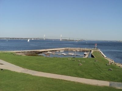
More about this marker. The background of the marker contains a map of Fort Adams and the firing ranges of its guns. Also present are landmarks within sight of the marker, including Fort Wetherill, Clingstone, Goat Island, and Pell Bridge & Rose Island.
Credits. This page was last revised on November 2, 2020. It was originally submitted on October 10, 2011, by Bill Coughlin of Woodland Park, New Jersey. This page has been viewed 630 times since then and 22 times this year. Photos: 1, 2, 3, 4, 5. submitted on October 10, 2011, by Bill Coughlin of Woodland Park, New Jersey.
