Near Safford in Graham County, Arizona — The American Mountains (Southwest)
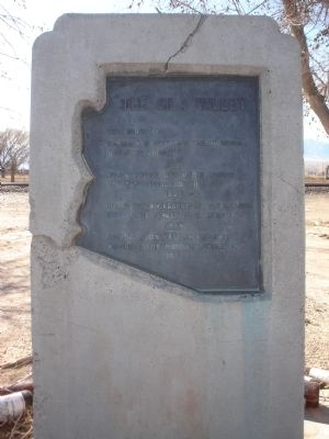
The Gila Valley
The Route of:
Coronado in search of the Fabled Seven Cities of Cibola.
————
James O. Pattie and other famous trappers along the Gila River.
————
Gen. Stephen W. Kearny and Lt. W.H. Emory led by Kit Carson to California.
————
Apache Indian hunting grounds colonized by Mormon pioneers.
Topics. This historical marker is listed in this topic list: Exploration. A significant historical year for this entry is 1540.
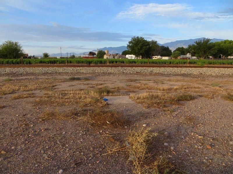
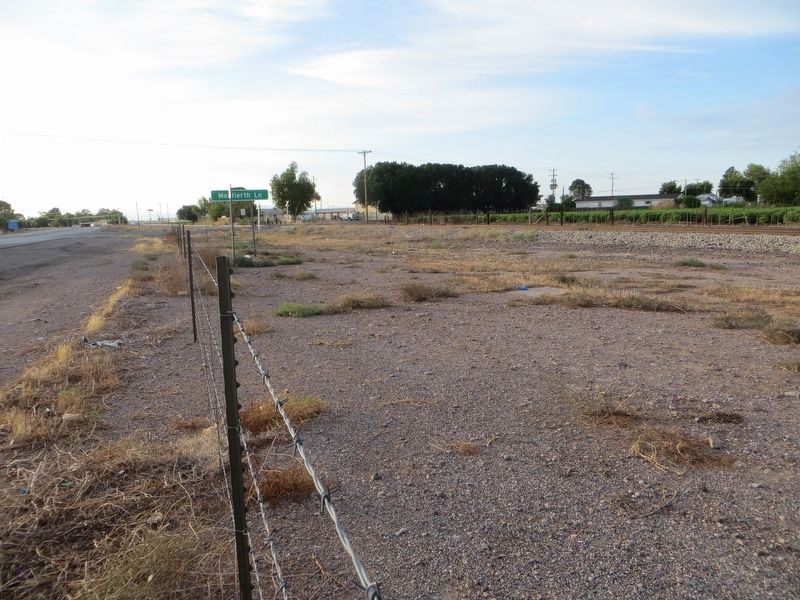
Location. Marker has been reported missing. It was located near 32° 49.117′ N, 109° 41.033′ W. Marker was near Safford, Arizona, in Graham County. Marker was on U.S. 70 at milepost 341, on the right when traveling east. Touch for map. Marker was in this post office area: Safford AZ 85546, United States of America. Touch for directions.
Other nearby markers. At least 8 other markers are within 3 miles of this location, measured as the crow flies. Womans Club of Safford (approx. 1.8 miles away); Arizona Bank & Trust Company (approx. 1.9 miles away); Odd Fellows Home (approx. 2.1 miles away); Safford City Hall (approx. 2.1 miles away); Graham County Courthouse (approx. 2.2 miles away); Mormon Pioneers' Arrival in Salt Lake Valley - Sesquicentennial Plaque (approx. 2.4 miles away); Solomon (approx. 3.1 miles away); Gila Valley Bank (approx. 3.1 miles away). Touch for a list and map of all markers in Safford.
Credits. This page was last revised on August 13, 2018. It was originally submitted on October 22, 2011, by Bill Kirchner of Tucson, Arizona. This page has been viewed 882 times since then and 14 times this year. Photos: 1. submitted on October 22, 2011, by Bill Kirchner of Tucson, Arizona. 2, 3. submitted on August 13, 2018, by Bill Kirchner of Tucson, Arizona. • Syd Whittle was the editor who published this page.


