Camden in Kershaw County, South Carolina — The American South (South Atlantic)
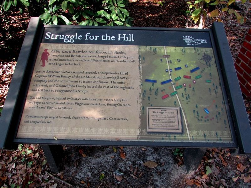
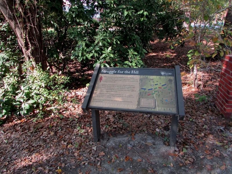
Struggle for the Hill
Just as American victory seemed assured, a sharpshooter killed Captain William Beatty of the 1st Maryland, throwing Beatty’s company and the one adjacent to it into confusion. The units retreated, and Colonel John Gunby halted the rest of the regiment and fell back to reorganize his troops.
The 2nd Maryland, isolated by Gunby’s withdrawal, came under heavy fire and began to retreat. So did the 1st Virginia moments later, forcing Greene to order the 2nd Virginia to fall back.
Rawdon’s troops surged forward, drove off the disorganized Continentals, and occupied the hill.
Topics. This historical marker is listed in this topic list: War, US Revolutionary.
Location. 34° 15.877′ N, 80° 36.296′ W. Marker is in Camden, South Carolina, in Kershaw County. Marker is at the intersection of Greene Street and Lyttleton Street, on the left when traveling north on Greene Street. Touch for map. Marker is in this post office area: Camden SC 29020, United States of America. Touch for directions.
Other nearby markers. At least 8 other markers are within walking distance of this marker. Battle Of Hobkirk Hill (within shouting distance of this marker); William Washington's Ride (within shouting distance of this marker); Greene's Counterblow (about 400 feet away, measured in a direct line); Forced to Retreat (about 500 feet away); Fruitless Victory (about 500 feet away); The British Attack (about 800 feet away); A Final Encounter (approx. 0.2 miles away); Battle of Hobkirk Hill (approx. ¼ mile away). Touch for a list and map of all markers in Camden.

Photographed By Anna Inbody, October 2, 2011
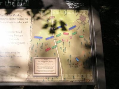
4. Map on the marker
The Struggle for the Hill
Col. Gunby’s decision to withdraw his entire regiment deprived the American charge of its momentum.
Taking advantage of the disorder in the Continental ranks, Lord Rawdon renewed his attack on the American line, driving back the 2nd Maryland.
Gen. Greene never forgave Col. Gunby’s actions and charged him with misconduct after the battle.
Credits. This page was last revised on November 5, 2017. It was originally submitted on October 25, 2011, by Anna Inbody of Columbia, South Carolina. This page has been viewed 494 times since then and 20 times this year. Photos: 1, 2, 3. submitted on November 4, 2017, by Bill Coughlin of Woodland Park, New Jersey. 4. submitted on October 25, 2011, by Anna Inbody of Columbia, South Carolina. • Craig Swain was the editor who published this page.


