Shakopee in Scott County, Minnesota — The American Midwest (Upper Plains)
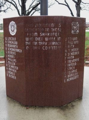
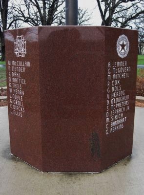
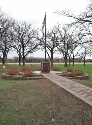
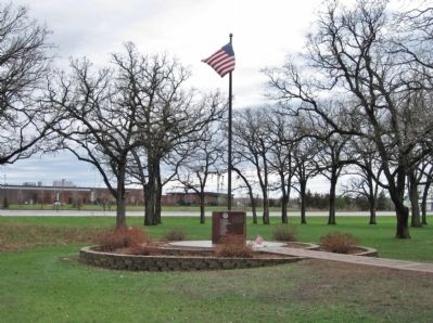
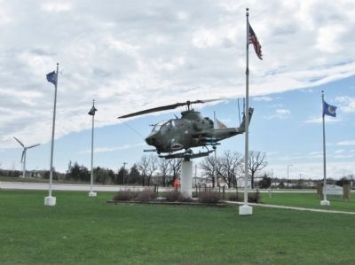
Shakopee Soldiers Monument
[emblems of the American Legion, Veterans of Foreign Wars, Ladies Auxiliary V.F.W., American Legion Auxiliary]
W. Lincoln A. Strehlow A. Moriarty R.Scherkenbach S. Demers L. Hobbs J. Phillips S. Miller R. Schaefer H. Mather J. Bohls N. Bieren J. Coburn J. Sullivan J. Beck W. Scherer R. Schoeber F. Huth P. Freymann P. Arnold E. Stack F. Gelhaye W. Bradley E. Herrgott W. McCullam N. Menden R. Dahl N. Mattice K. Theis W. Henry L. Doyle G. Groll F. Dircks L. Ellis A. Lemmer G. McGovern M. Mitchell R. Cox G. Dols V. Herzog D. O'Loughlin S. McPheters D. Zerbach Jr. M. Sikich C. Barnhart G. Perkins
Topics. This historical marker and monument is listed in this topic list: Military.
Location. 44° 48.147′ N, 93° 29.863′ W. Marker is in Shakopee, Minnesota, in Scott County. Marker can be reached from the intersection of County Highway 101 and Sarazin Street. Monument is in Veterans Memorial Park. Touch for map. Marker is at or near this postal address: 1801 East County Highway 101, Shakopee MN 55379, United States of America. Touch for directions.
Other nearby markers. At least 8 other markers are within walking distance of this marker. What Once Was (approx. Ό mile away); Powerful Names (approx. 0.3 miles away); Rollin' Down the River 1842 (approx. 0.3 miles away); Pond Mission (approx. 0.3 miles away); On The River Bottoms (approx. 0.3 miles away); The Railroad to Shakopee 1865 (approx. 0.3 miles away); The Ox Cart Trail to Shakopee (approx. 0.4 miles away); Betting, Booze & Speakeasies 1920-1940 (approx. 0.4 miles away). Touch for a list and map of all markers in Shakopee.
Also see . . . Shakopee, Minnesota. Wikipedia entry. (Submitted on November 23, 2011.)
Credits. This page was last revised on June 16, 2016. It was originally submitted on November 23, 2011, by Keith L of Wisconsin Rapids, Wisconsin. This page has been viewed 1,150 times since then and 73 times this year. Photos: 1, 2, 3, 4, 5, 6. submitted on November 23, 2011, by Keith L of Wisconsin Rapids, Wisconsin.
