Santa Ana in Orange County, California — The American West (Pacific Coastal)
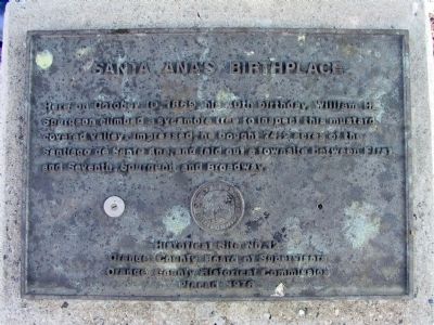
Santa Ana's Birthplace
Erected 1976 by Orange County Board of Supervisors and Orange County Historical Commission. (Marker Number 12.)
Topics. This historical marker is listed in this topic list: Landmarks. A significant historical date for this entry is October 10, 1869.
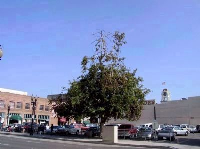
Location. 33° 44.924′ N, 117° 52.144′ W. Marker is in Santa Ana, California, in Orange County. Marker is on West 5th Street, on the right when traveling east. Touch for map. Marker is at or near this postal address: 226 West 5th Street, Santa Ana CA 92701, United States of America. Touch for directions.
Other nearby markers. At least 8 other markers are within 3 miles of this marker, measured as the crow flies. Orange County Courthouse (about 500 feet away, measured in a direct line); Delta III Rocket (approx. 1.7 miles away); First Advent Christian Church (approx. 2.3 miles away); Hewes Mansion (approx. 2˝ miles away); Stagecoach Stop (approx. 2.6 miles away); Columbus Tustin (approx. 2.7 miles away); John C. Fremont Camp (approx. 2.7 miles away); Orange Plaza (approx. 2.7 miles away). Touch for a list and map of all markers in Santa Ana.
Credits. This page was last revised on June 16, 2016. It was originally submitted on November 29, 2011, by Michael Kindig of Elk Grove, California. This page has been viewed 808 times since then and 18 times this year. Photos: 1. submitted on November 29, 2011, by Michael Kindig of Elk Grove, California. 2. submitted on November 30, 2011, by Michael Kindig of Elk Grove, California. • Syd Whittle was the editor who published this page.

