San Juan Capistrano in Orange County, California — The American West (Pacific Coastal)
San Juan Capistrano Mission
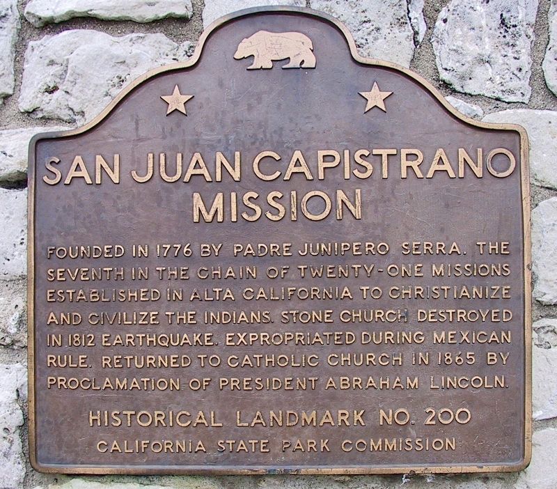
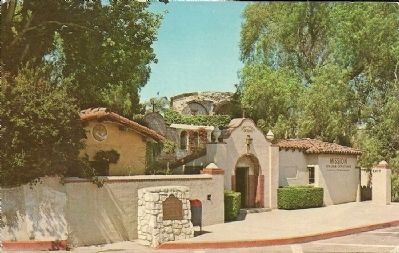
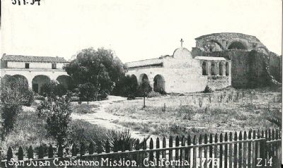
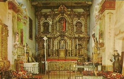
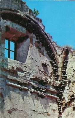
Founded in 1776 by Padre Junipero Serra. The seventeenth in the chain of twenty-one missions established in Alta California to Christianize and civilize the Indians. Stone church destroyed in 1812 earthquake. Expropriated during Mexican rule. Returned to Catholic church in 1865 by proclamation of President Abraham Lincoln.
Erected by California State Park Commission. (Marker Number 200.)
Topics and series. This historical marker is listed in this topic list: Churches & Religion. In addition, it is included in the California Historical Landmarks, and the Former U.S. Presidents: #16 Abraham Lincoln series lists. A significant historical year for this entry is 1776.
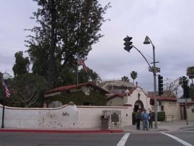
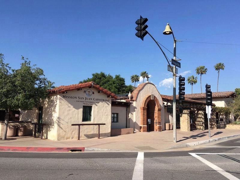
Location. 33° 30.123′ N, 117° 39.768′ W. Marker is in San Juan Capistrano, California, in Orange County. Marker is at the intersection of Camino Capistrano (State Highway 74) and Ortega Highway on Camino Capistrano. Touch for map. Marker is at or near this postal address: 31882 Camino Capistrano, San Juan Capistrano CA 92675, United States of America. Touch for directions.
Other nearby markers. At least 8 other markers are within walking distance of this marker. Mission San Juan Capistrano (a few steps from this marker); a different marker also named Mission San Juan Capistrano (within shouting distance of this marker); Metalworking Furnaces (within shouting distance of this marker); The Founding Documents of Mission San Juan Capistrano (within shouting distance of this marker); Site of the Valenzuela Adobe (about 300 feet away, measured in a direct line); Franciscan Plaza (about 300 feet away); El Camino Real Bell (about 300 feet away); Nick's Café (about 300 feet away). Touch for a list and map of all markers in San Juan Capistrano.
More about this marker. This site is California Historical Landmark No. 200, and listed on the National Register of Historic Places.
The plaque has been moved into storage for safekeeping.
An Orange County plaque was installed nearby in 2017.
Also see . . .
1. Mission San Juan Capistrano. Mission website homepage:
Mission San Juan Capistrano, became the seventh of twenty-one missions to be founded in Alta California. Like the previous six missions, San Juan Capistrano was established to expand the territorial boundaries of Spain, and to spread Christianity to the Native peoples of California. (Submitted on December 3, 2011.)
2. St. Joseph’s Day and Return of the Swallows Celebration. As the faithful little birds wing their way back to the most famous Mission in California, the village of San Juan Capistrano takes on a fiesta air and the visitors from all the parts of the world, and all walks of life, gather in great numbers to witness the "miracle" of the return of the swallows. (Submitted on December 3, 2011.)
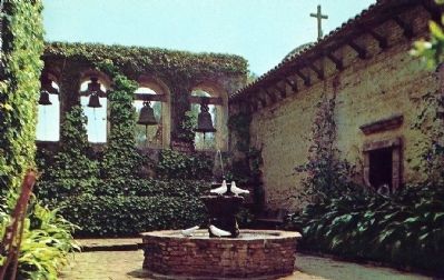
circa 1970's
7. Mission San Juan Capistrano
The Sacred Garden with fountain back of Campanario or bell wall, is situated between the Great Stone Church and the original rectory. Originally the bells were in the church before the earthquake in 1812. They were moved to the present site in 1813. The two larger bells were cast in Spain in 1796 and the smaller ones in 1804.
Credits. This page was last revised on April 17, 2022. It was originally submitted on December 2, 2011, by Michael Kindig of Elk Grove, California. This page has been viewed 1,586 times since then and 139 times this year. Last updated on December 6, 2011, by Michael Kindig of Elk Grove, California. Photos: 1. submitted on April 7, 2022. 2, 3. submitted on December 2, 2011, by Michael Kindig of Elk Grove, California. 4. submitted on April 16, 2022, by Craig Baker of Sylmar, California. 5, 6, 7, 8, 9. submitted on December 3, 2011. • Syd Whittle was the editor who published this page.
