Sandy Hook in Washington County, Maryland — The American Northeast (Mid-Atlantic)
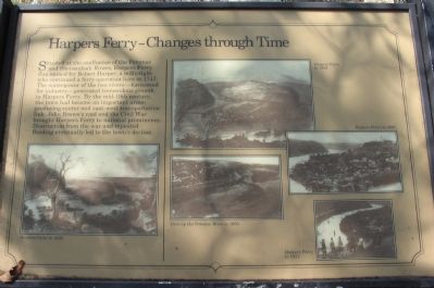
Harpers Ferry - Changes through Time
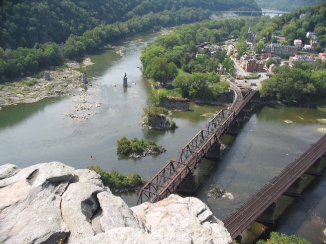
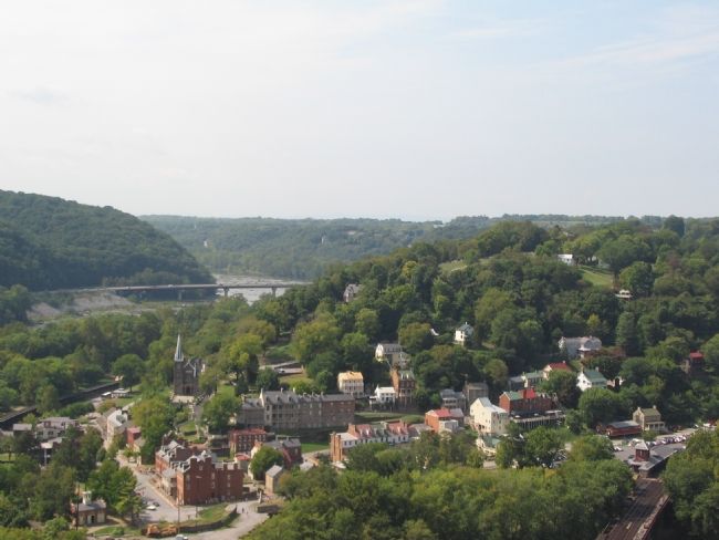
Situated at the confluence of the Potomac and Shenandoah Rivers, Harpers Ferry was named for Robert Harper, a millwright who continued a ferry operation here in 1747. The waterpower of the two rivers - harnessed for industry - generated tremendous growth in Harpers Ferry. By the mid-19th century, the town had become an important arms-producing center and east-west transportation link. John Brown's raid and the Civil War brought Harpers Ferry to national prominence. Destruction from the war and repeated flooding eventually led to the town's decline.
Topics. This historical marker is listed in these topic lists: Industry & Commerce • Settlements & Settlers. A significant historical year for this entry is 1747.
Location. 39° 19.526′ N, 77° 43.528′ W. Marker is in Sandy Hook, Maryland, in Washington County. Marker can be reached from Sandy Hook Road. Located on the Overlook Trail of Maryland Heights in Harpers Ferry National Historical Park. Touch for map. Marker is in this post office area: Knoxville MD 21758, United States of America. Touch for directions.
Other nearby markers. At least 8 other markers are within walking distance of this marker. Lift Lock 33 (about 600 feet away, measured in a direct line); Where Three National Trails Meet (approx. ¼ mile away in West Virginia); The Point (approx. ¼ mile away in West Virginia); Early Travel (approx. ¼ mile away in West Virginia); The Race to the Ohio (approx. ¼ mile away in West Virginia); The Iron Horse Wins (approx. ¼ mile away in West Virginia); The Mule Falters (approx. ¼ mile away in West Virginia); Daring Escapes (approx. ¼ mile away in West Virginia).
More about this marker. Five illustrations provide comparisons of Harpers Ferry through the years - 1839, 1859, 1896, 1900, and 1957.
Regarding Harpers Ferry - Changes through Time. This marker is one of a set along the National Park Service's trail to the top of Maryland Heights.

Photographed By Craig Swain, September 22, 2007
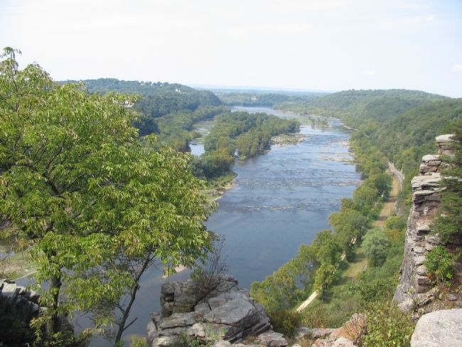
4. A View of the Pototomac Upstream from the Overlook
The main channel, on the right, was known as the Needles. Byrne Island is in the middle of the river. Upstream where the rocks and rapids begin is Dam 3. Note the canal towpath and ditch on the right paralleling the river.
Credits. This page was last revised on March 19, 2022. It was originally submitted on January 27, 2008, by Craig Swain of Leesburg, Virginia. This page has been viewed 1,457 times since then and 24 times this year. Photos: 1, 2, 3, 4. submitted on January 27, 2008, by Craig Swain of Leesburg, Virginia.


