Marker Logo HMdb.org THE HISTORICAL
MARKER DATABASE
“Bite-Size Bits of Local, National, and Global History”
Shamrock in Wheeler County, Texas — The American South (West South Central)
 

Tower Building


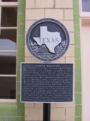
Tower Building Marker image. Click for full size.
Photographed By Michael Kindig, May 20, 2003
1. Tower Building Marker
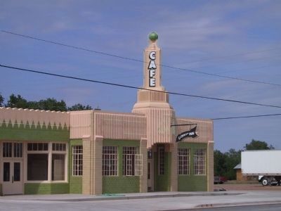
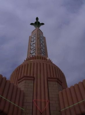
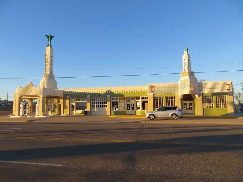
Inscription. The distinctive Tower Building was one of many commercial structures erected in the early 1930s along new U.S. Route 66. Designed by Pampa Architect J.C. Berry, the structure was built by local entrepreneur J.M. Tindall in 1936. The Tower Building is an excellent example of a gas station/diner of the 1930s and exhibits many elements of the Art Deco style, including geometric detailing, curvilinear massing, and neon highlights.
 
Erected 1994 by Texas Historical Commission. (Marker Number 5513.)
 
Topics and series. This historical marker is listed in these topic lists: ArchitectureIndustry & Commerce. In addition, it is included in the Art Deco, and the U.S. Route 66 series lists. A significant historical year for this entry is 1936.
 
Location. 35° 13.599′ N, 100° 14.916′ W. Marker is in Shamrock, Texas, in Wheeler County. Marker is on East 12th Street (Interstate 40) east of North Main Street (Texas Highway 83), on the right when traveling west. Marker is located in front of the U-Drop Inn Cafe. Touch for map. Marker is in this post office area: Shamrock TX 79079, United States of America. Touch for directions.
 
Other nearby markers. At least 8 other markers are within walking distance of this marker. Bill Mack: Shamrock's Midnight Cowboy (within shouting distance of this marker); "Bill Mack's influence on country music is legendary" (within shouting
Paid Advertisement
Click on the ad for more information.
Please report objectionable advertising to the Editor.
Click or scan to see
this page online
distance of this marker); Shamrock Methodist Church (approx. half a mile away); First Baptist Church of Shamrock (approx. 0.6 miles away); The Legend of St. Patrick and the Shamrock (approx. ¾ mile away); Welcome to Blarney Stone Plaza (approx. ¾ mile away); Shamrock’s St. Patrick’s Day Celebration (approx. ¾ mile away); Shamrock Water Tower (approx. 0.8 miles away). Touch for a list and map of all markers in Shamrock.
 
The Tower Conoco Station image. Click for full size.
Photographed By Michael Kindig, May 20, 2003
2. The Tower Conoco Station
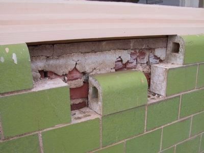
U-Drop Inn Cafe image. Click for full size.
Photographed By Michael Kindig, May 20, 2003
3. U-Drop Inn Cafe
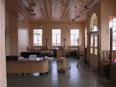
U-Drop Inn Cafe image. Click for full size.
Photographed By Michael Kindig, May 20, 2003
4. U-Drop Inn Cafe
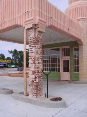
U-Drop Inn Cafe image. Click for full size.
Photographed By Michael Kindig, May 20, 2003
5. U-Drop Inn Cafe
The Tower Conoco Station image. Click for full size.
Photographed By Michael Kindig, May 20, 2003
6. The Tower Conoco Station
The Tower Conoco Station image. Click for full size.
Photographed By Michael Kindig, May 20, 2003
7. The Tower Conoco Station
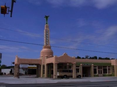
The Tower Building gas station/diner image. Click for full size.
Photographed By Bill Kirchner, November 15, 2016
8. The Tower Building gas station/diner
 
 
Credits. This page was last revised on August 25, 2020. It was originally submitted on January 28, 2012, by Michael Kindig of Elk Grove, California. This page has been viewed 899 times since then and 38 times this year. Photos:   1. submitted on January 28, 2012, by Michael Kindig of Elk Grove, California.   2, 3, 4, 5, 6, 7. submitted on January 30, 2012, by Michael Kindig of Elk Grove, California.   8. submitted on December 8, 2016, by Bill Kirchner of Tucson, Arizona. • Bill Pfingsten was the editor who published this page.
Share this page.  
Share on Tumblr
m=52016

CeraNet Cloud Computing sponsors the Historical Marker Database.
This website earns income from purchases you make after using our links to Amazon.com. We appreciate your support.
Paid Advertisement
Apr. 26, 2024