Lone Pine in Inyo County, California — The American West (Pacific Coastal)
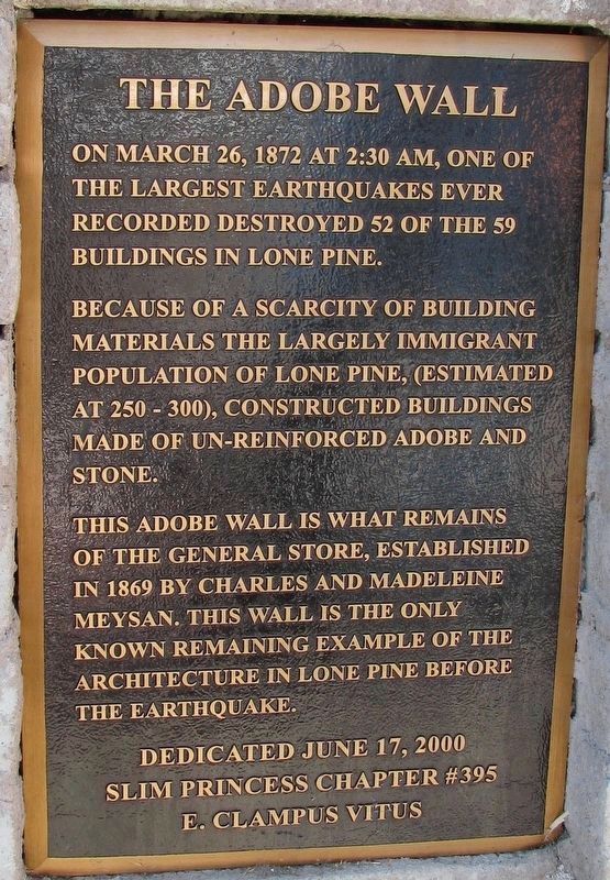
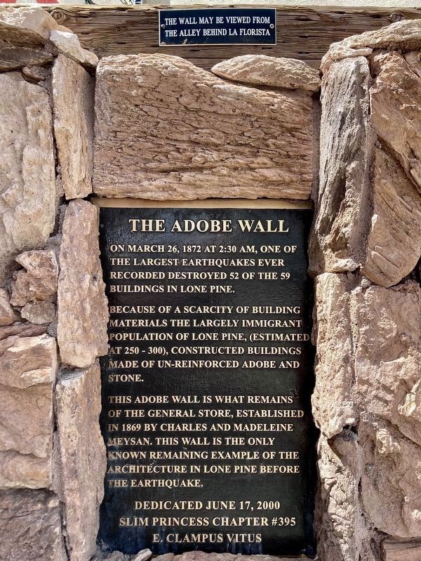
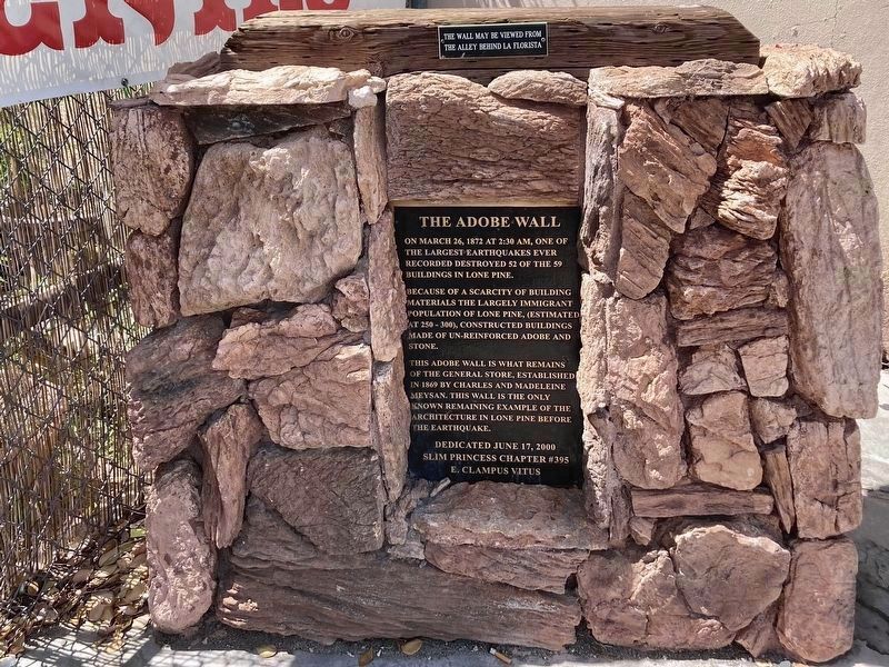
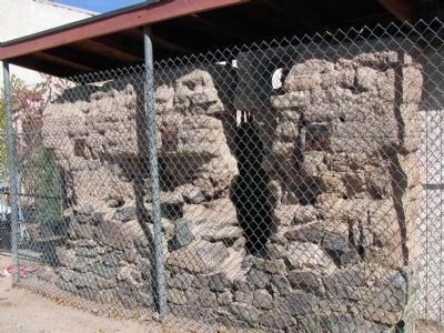
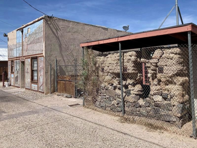
The Adobe Wall
Because of the scarcity of building materials the largely immigrant population of Lone Pine, (estimated 250-300), constructed buildings made of un-reinforced adobe and stone.
This adobe wall is what remains of the general store, established in 1869 by Charles and Madeleine Meysan. This wall is the only remaining example of architecture in Lone Pine before the earthquake.
Erected 2000 by Slim Princess Chapter #395 E Clampus Vitus.
Topics and series. This historical marker is listed in these topic lists: Disasters • Settlements & Settlers. In addition, it is included in the E Clampus Vitus series list. A significant historical month for this entry is March 1863.
Location. 36° 36.35′ N, 118° 3.817′ W. Marker is in Lone Pine, California, in Inyo County. Marker is on Main Sreet (U.S. 395) south of Busch Street, on the right when traveling south. Touch for map. Marker is at or near this postal address: 107 N Main St, Lone Pine CA 93545, United States of America. Touch for directions.
Other nearby markers. At least 8 other markers are within walking distance of this marker. Lone Pine's 'Movie Man' (about 800 feet away, measured in a direct line); The Duke and the Dow (about 800 feet away); Wedding of the Waters Pageant (about 800 feet away); Lone Pine Film Museum (approx. 0.4 miles away); Mt. Whitney Pack Trains (approx. 0.4 miles away); Fred French Family Oak (approx. 0.7 miles away); Disaster in 1872 (approx. 0.9 miles away); Lone Pine Pioneer Cemetery (approx. 0.9 miles away). Touch for a list and map of all markers in Lone Pine.
Credits. This page was last revised on September 9, 2023. It was originally submitted on February 1, 2012, by Denise Boose of Tehachapi, California. This page has been viewed 1,159 times since then and 50 times this year. Photos: 1. submitted on September 8, 2023, by Denise Boose of Tehachapi, California. 2, 3. submitted on May 12, 2023, by Craig Baker of Sylmar, California. 4, 5. submitted on February 1, 2012, by Denise Boose of Tehachapi, California. 6. submitted on May 12, 2023, by Craig Baker of Sylmar, California. • Syd Whittle was the editor who published this page.
