Near Kingstree in Williamsburg County, South Carolina — The American South (South Atlantic)
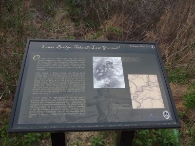
Lower Bridge: Take the Low Ground!
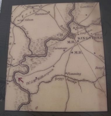
After clashes at Wiboo Swamp and Mount Hope Swamp, Marion continued moving east along the Santee towards Murray’s Ferry, thinking Watson would follow. But Watson turned north and made for the Lower Bridge over the Black River, with Kingstree just beyond. Marion and his men moved quickly to get to the Lower Bridge first. When Watson arrived at the high bluffs of the south bank (across the river), he found the bridge partially destroyed and Marion’s men arrayed against him on the low, swampy ground of the north bank (on this side of the river).
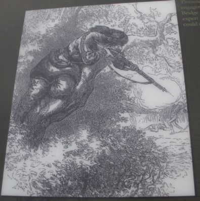
In most battles, the high ground is the best tactical position. But in this case, when Watson sent his artillery forward, the artillerymen could not lower their guns far enough to hit their opponents below. As Marion’s expert riflemen picked off his artillerymen, Watson withdrew to the Witherspoon plantation nearby. Baffled at the defeat, Watson reportedly said to his unwilling Whig hostess: “I have never seen such shooting before in my life.”
Erected 2012 by Francis Marion Trail Commission of Francis Marion University.
Topics and series. This historical marker is listed in this topic list: War, US Revolutionary. In addition, it is included in the Francis Marion Trail, and the Francis Marion Trail series lists. A significant historical month for this entry is March 1781.
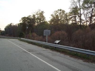
Location. 33° 35.255′ N, 79° 49.043′ W. Marker is near Kingstree, South Carolina, in Williamsburg County. Marker is on Martin Luther King, Jr. Ave. (State Highway 377) half a mile north of Thorntree Road (State Highway S45-143). Touch for map. Marker is in this post office area: Kingstree SC 29556, United States of America. Touch for directions.
Other nearby markers. At least 8 other markers are within 6 miles of this marker, measured as the crow flies. Battle Of Lower Bridge (a few steps from this marker); Burrows's Service Station / Cooper's Country Store (approx. half a mile away); Union Presbyterian Church (approx. 1.7 miles away); McClary Cemetery (approx. 3.9 miles away); Dr. Martin Luther King, Jr. (approx. 5.3 miles away); Thurgood Marshall, J.D. (approx. 5.3 miles away); Old Muster Ground and Courthouse (approx. 5.3 miles away); Williamsburg County Confederate Monument (approx. 5.3 miles away). Touch for a list and map of all markers in Kingstree.
Credits. This page was last revised on June 16, 2016. It was originally submitted on March 25, 2012, by Anna Inbody of Columbia, South Carolina. This page has been viewed 1,146 times since then and 60 times this year. Photos: 1, 2, 3, 4. submitted on March 25, 2012, by Anna Inbody of Columbia, South Carolina. • Bill Pfingsten was the editor who published this page.


