Britton's Neck in Marion County, South Carolina — The American South (South Atlantic)
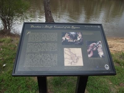
Dunhamís Bluff: Control of the Rivers
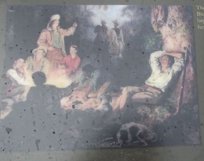
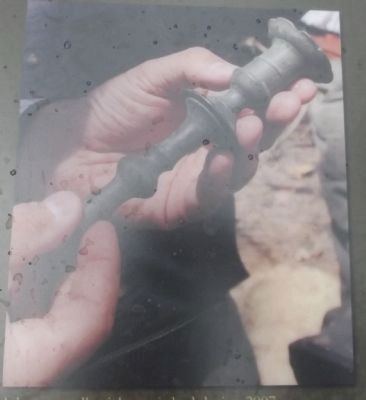
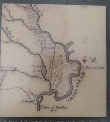
Sometime in early 1781, Marion ordered Col. John Ervin, a leader of the Whig militia on Brittonís Neck, to construct a redoubt, or earthen fortification, here at Dunhamís Bluff. The redoubt served as a lookout post to monitor traffic on the Great Pee Dee and as a defensive position against light opposition. A large campsite located a short distance from here housed a garrison of militiamen.
A generation after the Revolutionary War, South Carolinaís official geographer wrote that “by having control of the rivers, [Marion] could be abundantly supplied with provisions, and his post completely inaccessible except by water.” While probably exaggerating the extent of Marionís strength, the statement does reflect the way he attempted to use the natural environment to his advantage ~ and the strategic importance of the areaís river “highways” to all sides of the conflict in the South Carolina Lowcountry.
Erected 2012 by Francis Marion Trail Commission of Francis Marion University.
Topics and series. This historical marker is listed in this topic list: War, US Revolutionary. In addition, it is included in the Francis Marion Trail series list. A significant historical year for this entry is 1780.
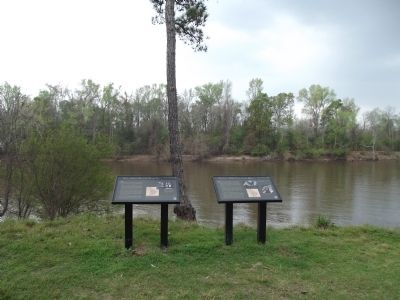
Location. Marker is missing. It was located near 33° 50.543′ N, 79° 20.444′ W. Marker was in Britton's Neck, South Carolina, in Marion County. Marker was on Dunham's Bluff Road. Marker is at the end of the road at the river. Touch for map. Marker was in this post office area: Gresham SC 29546, United States of America. Touch for directions.
Other nearby markers. At least 8 other markers are within 7 miles of this location, measured as the crow flies. Snowís Island: Den of the Swamp Fox (here, next to this marker); Marion's Camp at Snow's Island (approx. 1.7 miles away); Britton's Neck / Britton's Ferry (approx. 1.7 miles away); Ebenezer United Methodist Church (approx. 6 miles away); General Francis Marion (approx. 6.2 miles away); Witherspoonís Ferry: Francis Marion Takes Command (approx. 6.2 miles away); Francis Marion at Witherspoon's Ferry (approx. 6.2 miles away); Witherspoonís Ferry / Johnsonville (approx. 6.2 miles away). Touch for a list and map of all markers in Britton's Neck.
Additional commentary.
1. Gone
As of Feb 19, 2014, this and the Snow Island marker were both gone. A local gentleman at the site said that they had been stolen. Too bad.
— Submitted February 24, 2014, by Bill Welsch of Glen Allen, Virginia.
Credits. This page was last revised on December 3, 2020. It was originally submitted on March 25, 2012, by Anna Inbody of Columbia, South Carolina. This page has been viewed 1,571 times since then and 99 times this year. Photos: 1, 2, 3, 4, 5. submitted on March 25, 2012, by Anna Inbody of Columbia, South Carolina. • Bill Pfingsten was the editor who published this page.
