Morningside Heights in Manhattan in New York County, New York — The American Northeast (Mid-Atlantic)
New York City Defenses During the War of 1812
Inscription.
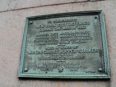
New York City Defenses
During the War of 1812
Barrier gate McGowan’s Pass,
Barrier Gate Manhattanville,
Forts Clinton, Fish, and Haight,
and three stone towers.
--•--
Also in honor of
Maj. Gen. Garrit Hopper Striker
(then captain)
5th Regiment, 2nd Brigade.
--•--
Erected by U.S.D. 1812
Empire State Society
February 22, 1900
Erected 1900 by United States Daughters of 1812.
Topics and series. This historical marker is listed in this topic list: War of 1812. In addition, it is included in the United States Daughters of 1812, National Society series list. A significant historical month for this entry is February 1943.
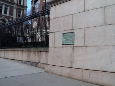
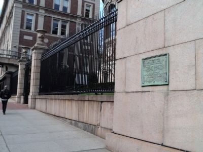
Location. 40° 48.471′ N, 73° 57.631′ W. Marker is in Manhattan, New York, in New York County. It is in Morningside Heights. Marker is on Amsterdam Avenue south of W 118th Street, on the right when traveling south. Marker is at the Amsterdam Ave. entrance to Columbia University. Touch for map. Marker is in this post office area: New York NY 10027, United States of America. Touch for directions.
Other nearby markers. At least 8 other markers are within walking distance of this marker. Oscar J. Hijuelos (about 300 feet away, measured in a direct line); Low Memorial Library (about 500 feet away); Battle of Harlem Heights (about 800 feet away); Columbia University Midshipmen's Training (approx. 0.2 miles away); Carl Schurz Monument (approx. 0.2 miles away); Site of St. Luke's Hospital (approx. ¼ mile away); Seligman Fountain (approx. ¼ mile away); Harlan Fiske Stone (approx. ¼ mile away). Touch for a list and map of all markers in Manhattan.
Credits. This page was last revised on January 31, 2023. It was originally submitted on March 29, 2012, by Bill Coughlin of Woodland Park, New Jersey. This page has been viewed 902 times since then and 21 times this year. Photos: 1, 2, 3. submitted on March 29, 2012, by Bill Coughlin of Woodland Park, New Jersey.


