Rhoadesville in Orange County, Virginia — The American South (Mid-Atlantic)
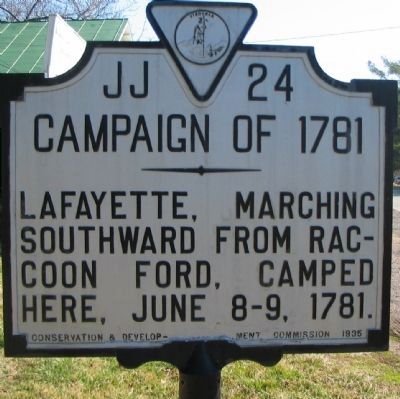
Campaign of 1781
Erected 1935 by Conservation & Development Commission. (Marker Number JJ-24.)
Topics and series. This historical marker is listed in this topic list: War, US Revolutionary. In addition, it is included in the Virginia Department of Historic Resources (DHR) series list. A significant historical month for this entry is June 1792.
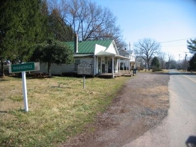
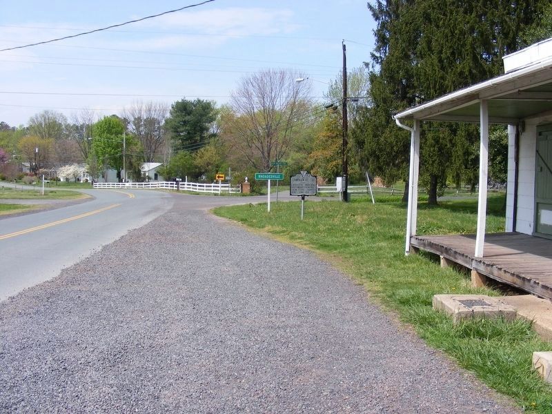
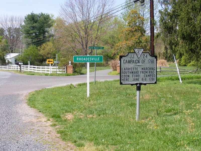
Location. 38° 16.418′ N, 77° 55.675′ W. Marker is in Rhoadesville, Virginia, in Orange County. Marker is at the intersection of Lafayette Drive (County Route 741) and County Route 602, on the right when traveling west on Lafayette Drive. Located on an old section of the Orange Turnpike. Touch for map. Marker is in this post office area: Rhoadesville VA 22542, United States of America. Touch for directions.
Other nearby markers. At least 8 other markers are within 7 miles of this marker, measured as the crow flies. Stuart's "Very Narrow Escape" (approx. 1.7 miles away); Isabella Lightfoot Training School (approx. 3 miles away); Elder John Leland (approx. 4.7 miles away); Campaign of Second Manassas (approx. 4.7 miles away); Culpeper County / Orange County (approx. 6˝ miles away); Face Off (approx. 6.7 miles away); Mine Run Campaign (approx. 6.7 miles away); a different marker also named The Mine Run Campaign (approx. 6.8 miles away).
Also see . . . Lafayette's Virginia Campaign. The marker describes the maneuvers that took place as part of the first phase of Lafayette's 1781 Campaign. (Submitted on February 17, 2008, by Craig Swain of Leesburg, Virginia.)
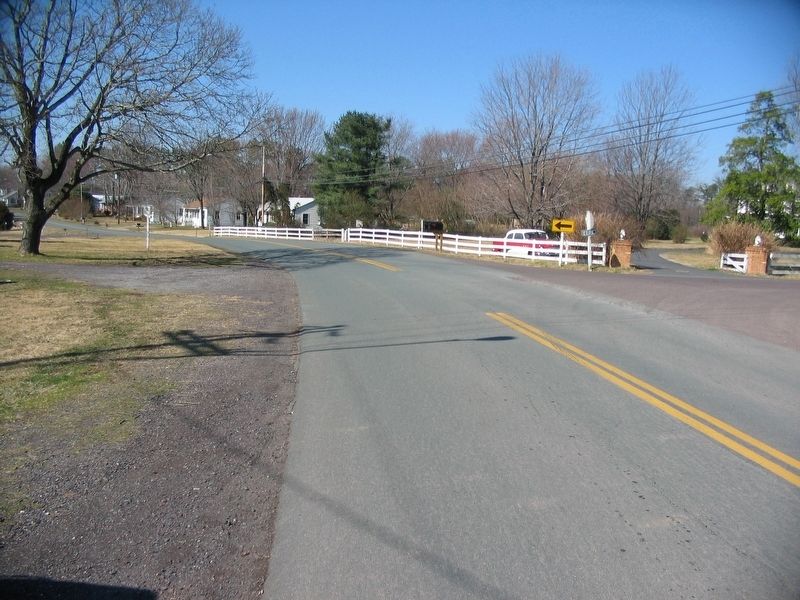
Photographed By Craig Swain, February 16, 2008
5. Lafayette's Path South
Lafayette's command crossed Raccoon Ford on June 6. After spending the night here, he turned his column south toward Boswell's Tavern. The route taken was later renamed "The Marquis Road" and generally follows modern day CR 669 to the South.
The 1781 Campaign in Virginia was a series of marches and counter marches by both sides. Both avoided open engagements for several reasons. But in the end, Lafayette had maneuvered the British commander, Lord Cornwallis, was bottled up at Yorktown, Virginia.
The 1781 Campaign in Virginia was a series of marches and counter marches by both sides. Both avoided open engagements for several reasons. But in the end, Lafayette had maneuvered the British commander, Lord Cornwallis, was bottled up at Yorktown, Virginia.
Credits. This page was last revised on May 4, 2017. It was originally submitted on February 17, 2008, by Craig Swain of Leesburg, Virginia. This page has been viewed 1,716 times since then and 57 times this year. Photos: 1, 2. submitted on February 17, 2008, by Craig Swain of Leesburg, Virginia. 3, 4. submitted on May 2, 2017, by Pete Payette of Orange, Virginia. 5. submitted on February 17, 2008, by Craig Swain of Leesburg, Virginia.
