Yountville in Napa County, California — The American West (Pacific Coastal)
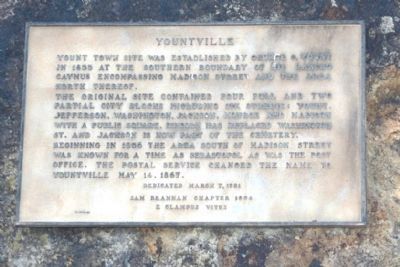
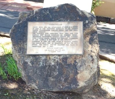
Yountville
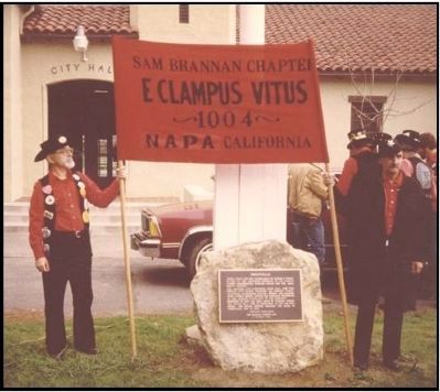
Erected 1981 by Sam Brannan Chapter No. 1004, E Clampus Vitus.
Topics and series. This historical marker is listed in this topic list: Settlements & Settlers. In addition, it is included in the E Clampus Vitus series list. A significant historical date for this entry is May 14, 1912.
Location. 38° 24.22′ N, 122° 21.699′ W. Marker is in Yountville, California, in Napa County. Marker is at the intersection of Yount Street and Finnell Road, on the right when traveling north on Yount Street. Touch for map. Marker is at or near this postal address: 6550 Yount Street, Yountville CA 94599, United States of America. Touch for directions.
Other nearby markers. At least 8 other markers are within walking distance of this marker. Flags over California in 1870 (about 600 feet away, measured in a direct line); Groezinger Winery (about 700 feet away); Yountville's First Fire House (about 700 feet away); Yountville Community Hall (about 700 feet away); Map of Groezinger's Addition (about 700 feet away); George Yount's Millstones (about 700 feet away); The Pioneer Christian Church Bell (approx. 0.4 miles away); Veterans Home of California (approx. half a mile away). Touch for a list and map of all markers in Yountville.
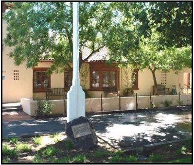
More about this marker. Plaque is located at the base of the flagpole in front of the Yountville Town Hall.
Additional commentary.
1. Additional Information Regarding the Marker Dedication
Dave Means was Noble Grand Humbug when this plaque was dedicated. Plaque wording by Edward D. Hawkins.
— Submitted April 16, 2012, by Loren Wilson of Sebastopol, California.
Credits. This page was last revised on June 16, 2016. It was originally submitted on April 16, 2012, by Loren Wilson of Sebastopol, California. This page has been viewed 582 times since then and 19 times this year. Photos: 1, 2, 3, 4. submitted on April 16, 2012, by Loren Wilson of Sebastopol, California. • Syd Whittle was the editor who published this page.


