Near Pawnee Rock in Barton County, Kansas — The American Midwest (Upper Plains)
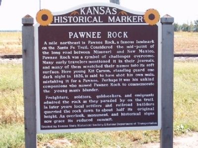
Pawnee Rock
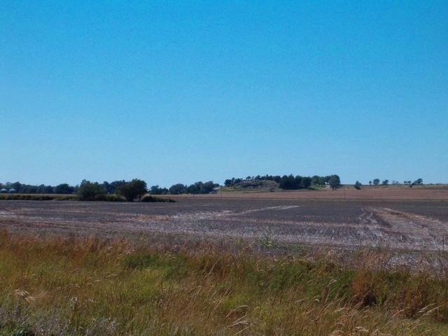
Freighters, soldiers, goldseekers, and emigrants admired the rock as they paraded by on the trail. In later years local settlers and railroad builders quarried the rock down to about half its original height. An overlook, monument, and historical signs now grace its reduced summit.
Erected by Kansas State Historical Society & Kansas Dept. of Transportation.
Topics and series. This historical marker is listed in this topic list: Landmarks. In addition, it is included in the Santa Fe Trail series list. A significant historical year for this entry is 1826.
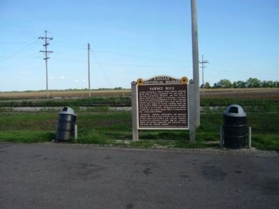
Location. 38° 15.683′ N, 98° 59.219′ W. Marker is near Pawnee Rock, Kansas, in Barton County. Marker is on U.S. 56 at milepost 190.8, on the left when traveling west . Marker is about one mile west of Pawnee Rock on US 56. Touch for map. Marker is in this post office area: Pawnee Rock KS 67567, United States of America. Touch for directions.
Other nearby markers. At least 8 other markers are within walking distance of this marker. A different marker also named Pawnee Rock (here, next to this marker); William Becknell (approx. ¾ mile away); Santa Fe Trail (approx. 0.8 miles away); a different marker also named Santa Fe Trail (approx. 0.8 miles away); “One of the Grandest Sights Ever Beheld” (approx. 0.8 miles away); "A Rallying Point for the Indians" (approx. 0.8 miles away); Marking the Rock (approx. 0.8 miles away); Santa Fe Trail Monument (approx. 0.8 miles away). Touch for a list and map of all markers in Pawnee Rock.
More about this marker. This marker was replaced in 2012.
Also see . . . Pawnee Rock State Historical Site. (Submitted on October 1, 2008, by Gary D. Carter of King George, Virginia.)
Credits. This page was last revised on June 16, 2016. It was originally submitted on September 25, 2008, by Gary D. Carter of King George, Virginia. This page has been viewed 2,428 times since then and 35 times this year. Last updated on May 12, 2012, by Bill Kirchner of Tucson, Arizona. Photos: 1. submitted on September 25, 2008, by Gary D. Carter of King George, Virginia. 2. submitted on May 12, 2012, by Bill Kirchner of Tucson, Arizona. 3. submitted on September 25, 2008, by Gary D. Carter of King George, Virginia. • Bill Pfingsten was the editor who published this page.


