Stoney Creek in Hamilton, Ontario — Central Canada (North America)
Battle of Stoney Creek
1813
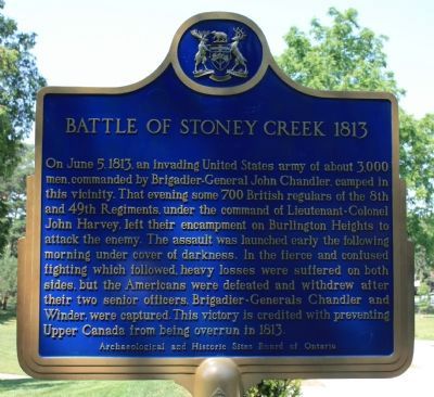
On June 5, 1813, an invading United States army of about 3,000 men, commanded by Brigadier - General John Chandler, camped in this vicinity. That evening some 700 British regulars of the 8th and 49th Regiments, under the command of Lieutenant - Colonel John Harvey, left their encampment on Burlington Heights to attack the enemy. The assault was launched early the following morning under cover of darkness. In the fierce fighting which followed, heavy losses were suffered on both sides, but the Americans were defeated and withdrew after their senior officers, Brigadier - Generals Chandler and Winder, were captured. This victory is credited with preventing Upper Canada from being overrun in 1813.
Erected 1963 by Ontario Archaeological and Historic Sites Board.
Topics. This historical marker is listed in this topic list: War of 1812. A significant historical month for this entry is June 1943.
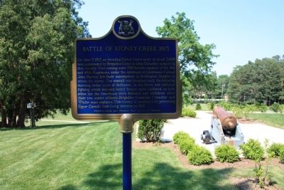
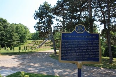
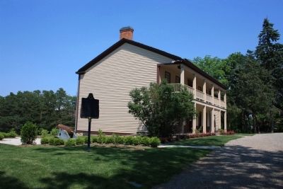
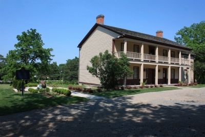
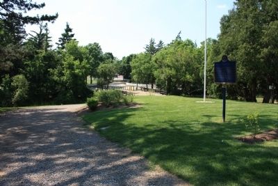
Location. 43° 13.058′ N, 79° 45.98′ W. Marker is in Stoney Creek, Ontario, in Hamilton. Marker can be reached from King Street West east of Centennial Parkway South. The historical marker is located in Battlefield Park, just to the right (the west) of Battlefield House. Touch for map. Marker is in this post office area: Stoney Creek ON L8G, Canada. Touch for directions.
Other nearby markers. At least 8 other markers are within 3 kilometers of this marker, measured as the crow flies. Battlefield House (within shouting distance of this marker); The Nash-Jackson House (within shouting distance of this marker); a different marker also named Battle of Stoney Creek (about 90 meters away, measured in a direct line); Their Fame Liveth (about 90 meters away); The Battlefield of Stoney Creek (about 180 meters away); Billy Green Monument (approx. 0.3 kilometers away); Augustus Jones (C. 1757-1836) (approx. one kilometer away); Hamilton Aviation History (approx. 2.7 kilometers away). Touch for a list and map of all markers in Stoney Creek.
Also see . . .
1. Battle of Stoney Creek. This is a link to information provided by Wikipedia, the free encyclopedia. (Submitted on June 24, 2012, by Dale K. Benington of Toledo, Ohio.)
2. War of 1812: Battle of Stoney Creek. This is a link to information provided by About.com, a part of the New York Times Company. (Submitted on June 24, 2012, by Dale K. Benington of Toledo, Ohio.)
3. Battle of Stoney Creek National Historic Site of Canada. This is a link to information from a website that is administered by Parks Canada. (Submitted on June 25, 2012, by Dale K. Benington of Toledo, Ohio.)
4. Battlefield House Museum and Park
. Ontario Museum Association website entry (Submitted on January 7, 2023, by Larry Gertner of New York, New York.)
Credits. This page was last revised on January 7, 2023. It was originally submitted on June 23, 2012, by Dale K. Benington of Toledo, Ohio. This page has been viewed 823 times since then and 24 times this year. Photos: 1. submitted on June 23, 2012, by Dale K. Benington of Toledo, Ohio. 2, 3, 4, 5, 6. submitted on June 24, 2012, by Dale K. Benington of Toledo, Ohio.
