Near Blue Ridge in Botetourt County, Virginia — The American South (Mid-Atlantic)
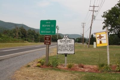
Botetourt County / Bedford County
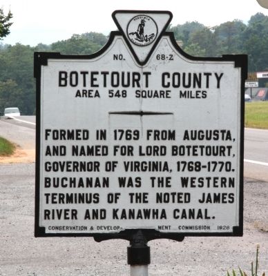
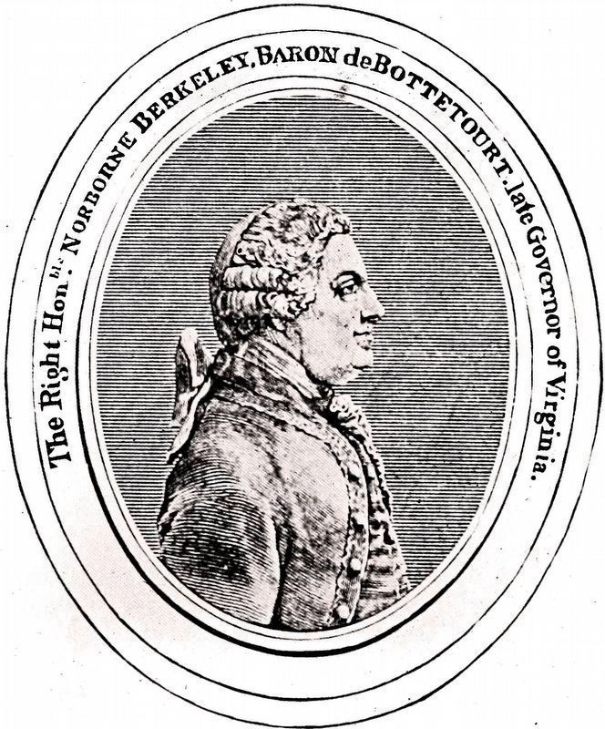
Botetourt County. Area 548 Square Miles. Formed in 1769 from Augusta, and named for Lord Botetourt, Governor of Virginia, 1768–1770. Buchanan was the western terminus of the noted James River and Kanawha Canal.
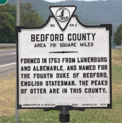
Bedford County. Area 791 Square Miles. Formed in 1753 from Lunenburg and Albemarle, and named for the fourth Duke of Bedford, English statesman. The Peaks of Otter are in this County.
Erected 1928 by Conservation & Development Commission. (Marker Number Z-68.)
Topics and series. This historical marker is listed in this topic list: Political Subdivisions. In addition, it is included in the Virginia Department of Historic Resources (DHR) series list. A significant historical year for this entry is 1769.
Location. 37° 23.104′ N, 79° 45.842′ W. Marker is near Blue Ridge, Virginia, in Botetourt County. Marker is on Lynchburg Salem Turnpike (U.S. 460), on the right when traveling east. It is at the Blue Ridge Church of the Bretheren. Touch for map. Marker is at or near this postal address: 15664 W Lynchburg Salem Tpke, Blue Ridge VA 24064, United States of America. Touch for directions.
Other nearby markers. At least 8 other markers are within 8 miles of this marker, measured as the crow flies. Colonial Fort (approx. 3.7 miles away); Appalachian Trail (approx. 4.2 miles away); Coming of the Railroad (approx. 6 miles away); Botetourt County / Roanoke County (approx. 6.8 miles away); Peaks of Otter (approx. 7.3 miles away); Cloverdale Furnace (approx. 7.9 miles away); 1889 Thaxton Train Wreck (approx. 7.9 miles away); Old Carolina Road (approx. 8 miles away).
Credits. This page was last revised on July 3, 2021. It was originally submitted on July 22, 2012, by J. J. Prats of Powell, Ohio. This page has been viewed 540 times since then and 29 times this year. Photos: 1, 2, 3, 4. submitted on July 22, 2012, by J. J. Prats of Powell, Ohio. 5. submitted on October 12, 2020, by Allen C. Browne of Silver Spring, Maryland.


