Southwestern Sacramento in Sacramento County, California — The American West (Pacific Coastal)
Sutterville Brewery
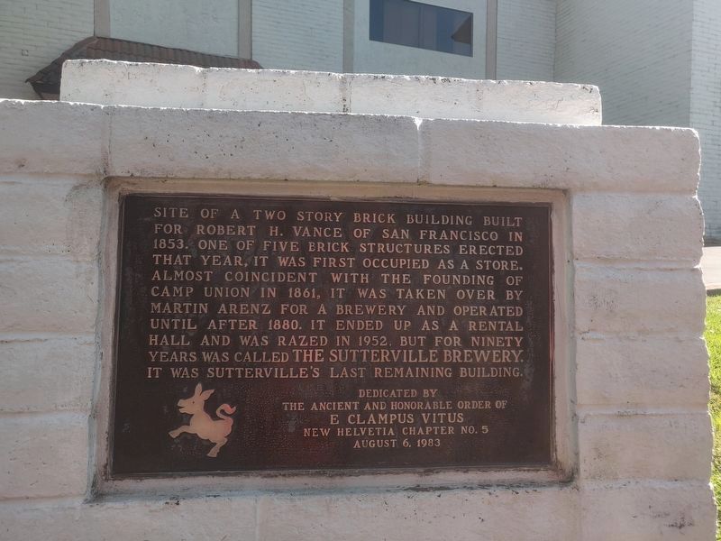
Site of a two story brick building built for Robert H. Vance of San Francisco in 1853. One of five brick structures erected that year, it was first occupied as a store. Almost coincident with the founding of Camp Union in 1861, it was taken over by Martin Arenz for a brewery and operated until after 1880. It ended up as a rental hall and was razed in 1952, but for ninety years was called The Sutterville Brewery. It was Sutterville's last remaining building.
Erected 1983 by The Ancient and Honorable Order of E. Clampus Vitus, New Helvetia Chapter No. 5, August 6, 1983. (Marker Number 593.)
Topics and series. This historical marker is listed in these topic lists: Industry & Commerce • Settlements & Settlers. In addition, it is included in the California Historical Landmarks, and the E Clampus Vitus series lists. A significant historical year for this entry is 1853.
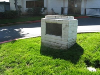
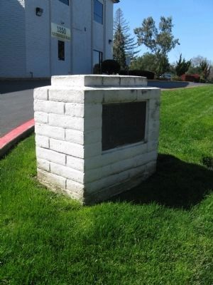
Location. 38° 32.29′ N, 121° 30.296′ W. Marker is in Sacramento, California, in Sacramento County. It is in Southwestern Sacramento. Marker is on Sutterville Road, on the right when traveling east. The marker is located at the entrance to the Land Park Business Center. Touch for map. Marker is at or near this postal address: 1250 Sutterville Road, Sacramento CA 95822, United States of America. Touch for directions.
Other nearby markers. At least 8 other markers are within 2 miles of this marker, measured as the crow flies. Camp Union Sutterville (about 300 feet away, measured in a direct line); Spencer Hoofed Animal Complex (about 300 feet away); Memorial Grove (approx. half a mile away); Sacramento County WW I Veterans Memorial (approx. 0.6 miles away); 1972 Sacramento Canadair Sabre Accident Memorial (approx. 1.2 miles away); Petrovich Family Playfields (approx. 1.3 miles away); 4th Avenue / Wayne Hultgren Light Rail Station (approx. 1.3 miles away); U.S.S. Maine (approx. 1˝ miles away). Touch for a list and map of all markers in Sacramento.
Regarding Sutterville Brewery. This location is California Historical Landmark No. 593, Sutterville - Sutter laid out a townsite here in 1844, about two miles below the Embarcadero. In 1847, George Zins built one of the first brick structures erected in California here.
Additional commentary.
1. From the book titled California-A Guide to the Golden State
Compiled and written by The Federal Writers Project of the Works Progress Administration for the State of California, Published in 1939.
On Page 255, there is a map of Sacramento showing the location of thirteen historical sites. Number 13 on the map is Sutterville with the description of: The site of SUTTERVILLE, the town first projected by Captain Sutter in 1844, is south of William Land Park, across Sutterville Rd. The first brick house in California was built here in 1847. All that remains is the old Sutterville Brewery, built in 1853, a square, two-story, structure made of brick dug and baked in the immediate neighborhood. Here the first steam beer in Sacramento was made. The building was a place of refuge from the floods before levees were built. Note To Editor only visible by Contributor and editor
— Submitted March 13, 2009, by Syd Whittle of Mesa, Arizona.
Credits. This page was last revised on February 7, 2023. It was originally submitted on March 13, 2009, by Syd Whittle of Mesa, Arizona. This page has been viewed 1,648 times since then and 37 times this year. Last updated on August 20, 2012. Photos: 1. submitted on July 12, 2020, by Steven Armstrong of Sacramento, California. 2, 3, 4. submitted on March 13, 2009, by Syd Whittle of Mesa, Arizona.


