Peach Springs in Mohave County, Arizona — The American Mountains (Southwest)
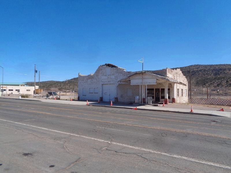
Historic John Osterman Gas Station
Inscription.
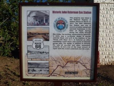
This property was listed in the National Register of
Historic Places on March 15, 2012. The John Osterman
Gas Station was one of several privately-owned and
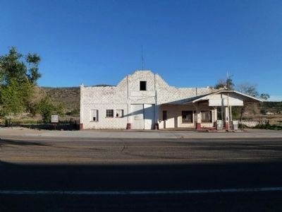
operated businesses in the town of Peach Springs during the 1920's through the 1950's. The building, constructed by Osterman in 1923 was a vernacular design of poured concrete block and built in the tradition of the "House with Bays" form. It featured an office resembling a small house and a series of attached garage bays. The design, in addition to allowing the sale of gasoline and other automotive products, is indicative of the large amount of
repair work undertook over the years.
Erected 2012 by Hualapai Tribe.
Topics and series. This historical marker is listed in this topic list: Industry & Commerce. In addition, it is included in the U.S. Route 66 series list. A significant historical date for this entry is March 15, 2012.
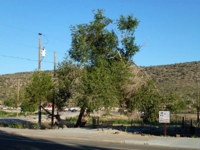
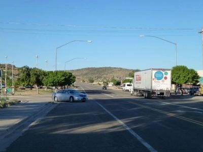
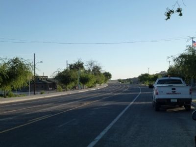
Location. Marker is missing. It was located near 35° 31.737′ N, 113° 25.548′ W. Marker was in Peach Springs, Arizona, in Mohave County. Marker was at the intersection of Historical Route 66 (U.S. 66 at milepost 127), and Diamond Creek Road (U.S. 66), on the right when traveling east on Historical Route 66. Touch for map. Marker was in this post office area: Peach Springs AZ 86434, United States of America. Touch for directions.
Other nearby markers. At least 2 other markers are within walking distance of this location. Dallas Quasula Sr. (about 300 feet away, measured in a direct line); Historic Peach Springs Trading Post (about 500 feet away).
Regarding Historic John Osterman Gas Station. There was also a store, campground and cabins owned and operated by Osterman
Also see . . . Vernacular Archtecture Defined, Wikipedia. (Submitted on August 21, 2012.)
Credits. This page was last revised on April 1, 2022. It was originally submitted on August 21, 2012. This page has been viewed 1,972 times since then and 189 times this year. Photos: 1, 2, 3. submitted on August 21, 2012. 4, 5. submitted on August 21, 2012, by Chris English of Phoenix, Arizona. 6. submitted on April 1, 2022, by Jason Voigt of Glen Carbon, Illinois. • Syd Whittle was the editor who published this page.
