Kearney in Clay County, Missouri — The American Midwest (Upper Plains)
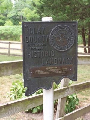
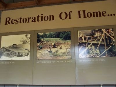
James Farm
Erected 1976 by Clay County Historical Society.
Topics and series. This historical marker is listed in these topic lists: Churches & Religion • Settlements & Settlers. In addition, it is included in the Missouri, Clay County Historic Landmarks series list. A significant historical year for this entry is 1840.
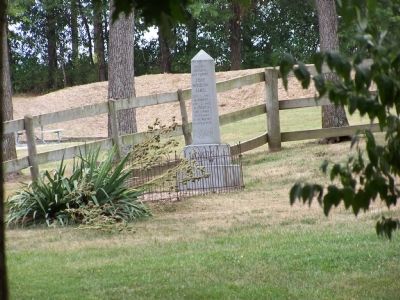
Location. 39° 23.576′ N, 94° 19.288′ W. Marker is in Kearney, Missouri, in Clay County. Marker can be reached from Jesse James Farm Road. Marker is not visible from the road. The marker is behind the museum, through the woods and located near the James home. Touch for map. Marker is at or near this postal address: 21216 Jesse James Farm Road, Kearney MO 64060, United States of America. Touch for directions.
Other nearby markers. At least 8 other markers are within 12 miles of this marker, measured as the crow flies. Watkins Mill (approx. 3˝ miles away); Hall of Waters (approx. 6.4 miles away); a different marker also named Hall of Waters (approx. 6.4 miles away); Bell-Pharis House (approx. 9.9 miles away); Riverview (approx. 10.9 miles away); "The Old Graveyard" "Mt. Memorial Cemetery" (approx. 11.1 miles away); John Priest Greene President's Home (approx. 11.1 miles away); Mass Grave Site (approx. 11.1 miles away).
Credits. This page was last revised on November 23, 2019. It was originally submitted on September 20, 2012, by M. Bowyer of Indianapolis, Indiana. This page has been viewed 555 times since then and 12 times this year. Photos: 1, 2, 3, 4, 5, 6. submitted on September 20, 2012, by M. Bowyer of Indianapolis, Indiana. • Craig Swain was the editor who published this page.
