Atlantic Highlands in Monmouth County, New Jersey — The American Northeast (Mid-Atlantic)
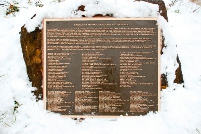
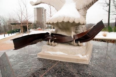
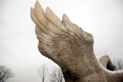
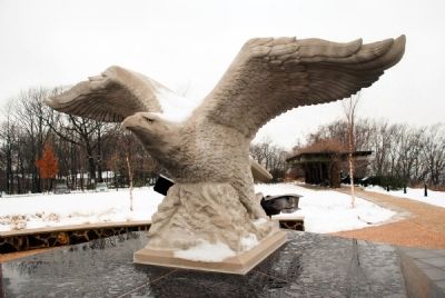
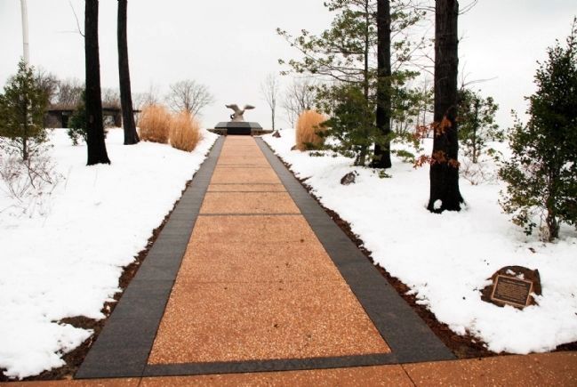
Friends of Monmouth County 9/11 Memorial
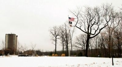
On September 11, 2001, many came to this site to witness the horrific tragedy just a few miles away in Lower Manhattan, and, for days afterward, they continued to come to view the smoke spiraling up from the site, most still in shock, not believing what they were seeing. From their beginning, the World Trade Center Towers dominated the view from here. Through the years, many have come to visit this site and enjoy the view. Now, the towers no longer in view, we remember a loved one, a relative, a friend, a neighbor, a coworker, an aquaintance we lost that day. At the same time, we still picture them in our mind, and while we do, we also remember where we were when tragedy struck and how our lives changed…forever.
On July 22, 2002, the Monmouth County Board of Chosen Freeholders charged a committee of interested citizens with the task of designing and constructing a memorial to the 147 citizens of Monmouth County lost on that tragic day. The Monmouth County 9/11 Memorial Committee along with the Friends of The Monmouth County Park System completed this task three years later. On September 11, 2005, the memorial was officially dedicated.
This plaque recognizes not only the major contributors listed below whose generosity helped make this memorial a reality, but also the hundreds of donors who contributed the best way they could. Among them are the thousands of children from 33 schools in Monmouth county who donated their pennies, nickles, dimes, and dollars.
[A list of over 100 citizens and businesses follows]
Erected 2005.
Topics. This historical marker and memorial is listed in these topic lists: 9/11 Attacks • Notable Buildings. A significant historical month for this entry is July 1735.
Location. 40° 24.463′ N, 74° 0.283′ W. Marker is in Atlantic Highlands, New Jersey, in Monmouth County. Marker is on 460 Ocean Blvd near Orchard St.. Touch for map. Marker is in this post office area: Atlantic Highlands NJ 07716, United States of America. Touch for directions.
Other nearby markers. At least 8 other markers
Photographed By R. C.
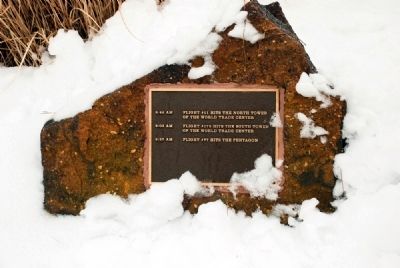
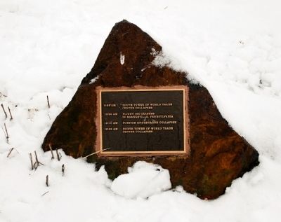
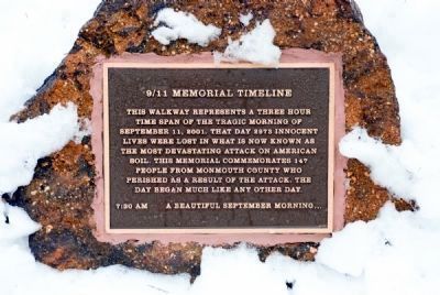
2. 9/11 Memorial Timeline (first of four sister markers on the site)
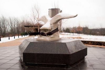
This walkway represents a three hour time span of the tragic morning of September 11, 2001. That day, 2973 innocent lives were lost in what is now known as the most devasting attack on American soil. This memorial commemorates the 147 people from Monmouth County who perished as a result of the attack. The day began much like any other day.
7:30 A.M. A beautiful September Morning…
Also see . . . Mt. Mitchill Scenic Overlook. Monmouth County Park System website (Submitted on March 5, 2008, by Ronald Claiborne of College Station, Texas.)
Additional keywords. Global War on Terror
Photographed By R. C.
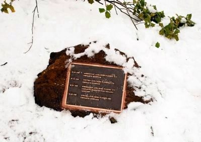
3. 9/11 Memorial Timeline (second of four sister markers)
8:00 A.M.– American Airlines Flight #11 departs Boston
8:14 A.M.– United Airlines Flight #175 departs Boston
8:21 A.M.– American Airlines Flight #77 departs Washington Dulles Airport
8:42 A.M.– United Airlines Flight #93 departs Newark
8:14 A.M.– United Airlines Flight #175 departs Boston
8:21 A.M.– American Airlines Flight #77 departs Washington Dulles Airport
8:42 A.M.– United Airlines Flight #93 departs Newark
Credits. This page was last revised on March 10, 2021. It was originally submitted on March 5, 2008, by Ronald Claiborne of College Station, Texas. This page has been viewed 1,908 times since then and 18 times this year. Photos: 1, 2, 3, 4, 5, 6, 7, 8, 9, 10, 11, 12. submitted on March 5, 2008, by Ronald Claiborne of College Station, Texas. • Kevin W. was the editor who published this page.
