San Luis Obispo in San Luis Obispo County, California — The American West (Pacific Coastal)
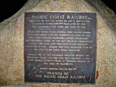
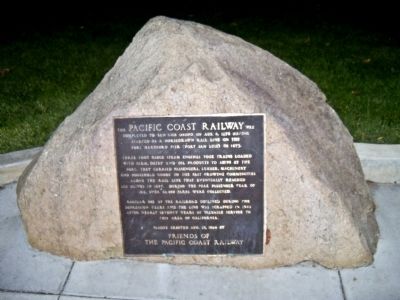
Pacific Coast Railway
Three foot gauge steam engines took trains loaded with farm, dairy and oil products to ships at the port. They carried passengers, lumber, machinery and household goods to the fast growing communities along the rail line that eventually reached Los Olivos in 1887. During the peak passenger year of 1912, over 62,000 fares were collected.
Regular use of the railroad declined during the depression years and the line was scrapped in 1942 after nearly seventy years of valuable service to this area of California.
Erected 1984 by Friends of the Pacific Coast Railway.
Topics. This historical marker is listed in this topic list: Railroads & Streetcars. A significant historical month for this entry is August 1831.
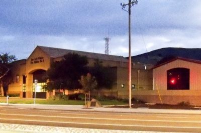
Location. 35° 16.167′ N, 120° 39.367′ W. Marker is in San Luis Obispo, California, in San Luis Obispo County. Marker is at the intersection of Broad Street (California Route 227) and South and Santa Barbara Streets (California Route 227) on Broad Street. The marker is alongside the sidewalk next to the San Luis Obispo Fire Station No. 1. Touch for map. Marker is in this post office area: San Luis Obispo CA 93401, United States of America. Touch for directions.
Other nearby markers. At least 8 other markers are within walking distance of this marker. Southern Pacific Water Tower (approx. half a mile away); Presbyterian Church (approx. ¾ mile away); Dallidet Adobe (approx. 0.8 miles away); The Ramona Hotel Depot (approx. 0.8 miles away); San Luis Obispo Creek (approx. 0.8 miles away); Juan Bautista de Anza National Historic Trail (approx. 0.9 miles away); Carnegie City Library (approx. 0.9 miles away); De Anza Expedition 1775 - 1776 (approx. 0.9 miles away). Touch for a list and map of all markers in San Luis Obispo.
Regarding Pacific Coast Railway. All of the signs of the old roundhouse and buildings are gone now but they were where the Pacific Coast Center, where Madonna Road meets South Higuera Street, is now. from there the main line ran right up what is now South Street before turning south and heading out of town.
It appears there may be some old rolling stock at 35°16'16.42"N, 120°39'17.77"W (up Roundhouse Ave. off of Santa Barbara and left at Emily) but they may be on private property.
If you look closely as you drive on San Marcos Pass Road between Hwy 101 and Los Olivos, you can still see evidence of the old right-of-way.
Also see . . .
1. Railroads of the Central Coast, An Overview. (Submitted on October 25, 2012, by James King of San Miguel, California.)
2. PCRy Photos on Flickr. (Submitted on October 25, 2012, by James King of San Miguel, California.)
Credits. This page was last revised on July 23, 2018. It was originally submitted on October 25, 2012, by James King of San Miguel, California. This page has been viewed 826 times since then and 36 times this year. Photos: 1, 2, 3. submitted on October 25, 2012, by James King of San Miguel, California. • Syd Whittle was the editor who published this page.


