Near Mentone in Loving County, Texas — The American South (West South Central)
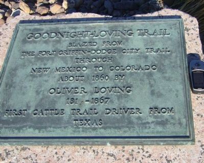
Goodnight-Loving Trail
the Fort Griffin-Dodge City Trail
through
New Mexico to Colorado
about 1860 by
Oliver Loving
1812-1867
first cattle trail driver from
Texas
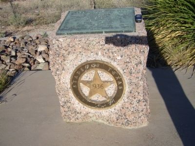
Erected 1936 by State of Texas. (Marker Number 2227.)
Topics and series. This historical marker is listed in this topic list: Exploration. In addition, it is included in the Texas 1936 Centennial Markers and Monuments series list. A significant historical year for this entry is 1860.
Location. 31° 42.065′ N, 103° 36.215′ W. Marker is near Mentone, Texas, in Loving County. Marker is on State Highway 302, 0.4 miles west of Pecos Street (County Road 300), on the right when traveling west. Touch for map. Marker is in this post office area: Mentone TX 79754, United States of America. Touch for directions.
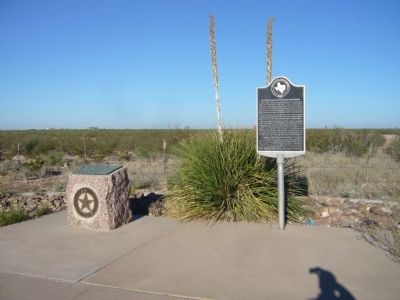
Other nearby markers. At least 5 other markers are within walking distance of this marker. Route of Old Butterfield Stagecoach Road (here, next to this marker); Mentone (approx. half a mile away); Loving County (approx. half a mile away); Mentone Community Church (approx. half a mile away); Oliver Loving, C.S.A. (approx. half a mile away).
Related marker. Click here for another marker that is related to this marker.
Credits. This page was last revised on June 16, 2016. It was originally submitted on November 21, 2012, by Bill Kirchner of Tucson, Arizona. This page has been viewed 866 times since then and 50 times this year. Last updated on November 28, 2012, by Bill Kirchner of Tucson, Arizona. Photos: 1, 2, 3. submitted on November 21, 2012, by Bill Kirchner of Tucson, Arizona. • Bernard Fisher was the editor who published this page.


