Vincennes in Knox County, Indiana — The American Midwest (Great Lakes)
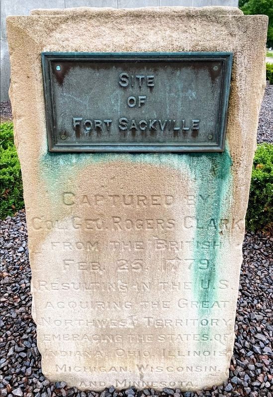
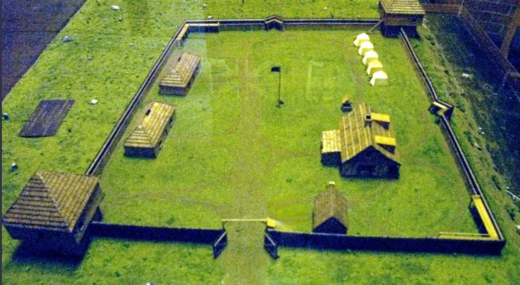
Site of Fort Sackville
Topics. This memorial is listed in these topic lists: Forts and Castles • Patriots & Patriotism • War, US Revolutionary. A significant historical date for this entry is February 25, 1830.
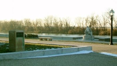
Location. 38° 40.769′ N, 87° 32.13′ W. Marker is in Vincennes, Indiana, in Knox County. The marker is adjacent to the George Rogers Clark Memorial at George Rogers Clark National Historical Park, 401 South 2nd Street. Touch for map. Marker is in this post office area: Vincennes IN 47591, United States of America. Touch for directions.
Other nearby markers. At least 8 other markers are within walking distance of this marker. The George Rogers Clark Memorial (within shouting distance of this marker); Francis Vigo (within shouting distance of this marker); The Wabash River (within shouting distance of this marker); Constructing a Legacy (within shouting distance of this marker); Inside the Memorial (within shouting distance of this marker); The Old Cathedral “French and Indian” Cemetery (about 400 feet away, measured in a direct line); St. Rose Chapel (about 400 feet away); Fort Sackville (about 400 feet away). Touch for a list and map of all markers in Vincennes.
Also see . . .
1. George Rogers Clark National Historical Park. National Park Service entry (Submitted on December 13, 2012, by William Fischer, Jr. of Scranton, Pennsylvania.)
2. George Rogers Clark. Locust Grove entry (Submitted on December 13, 2012, by William Fischer, Jr. of Scranton, Pennsylvania.)
Credits. This page was last revised on July 2, 2021. It was originally submitted on December 13, 2012, by William Fischer, Jr. of Scranton, Pennsylvania. This page has been viewed 622 times since then and 18 times this year. Photos: 1. submitted on July 1, 2021, by Shane Oliver of Richmond, Virginia. 2. submitted on December 13, 2012, by William Fischer, Jr. of Scranton, Pennsylvania. 3. submitted on January 23, 2021, by Larry Gertner of New York, New York.


