Mishawaka in St. Joseph County, Indiana — The American Midwest (Great Lakes)
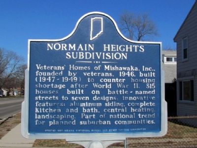
Normain Heights Subdivision
Erected 1997 by Indiana Historical Bureau and Beiger Heritage Corporation. (Marker Number 71.1997.1.)
Topics and series. This historical marker is listed in this topic list: Settlements & Settlers. In addition, it is included in the Indiana Historical Bureau Markers series list. A significant historical year for this entry is 1946.
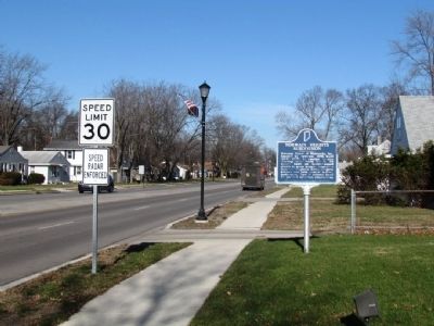
Location. 41° 40.896′ N, 86° 10.874′ W. Marker is in Mishawaka, Indiana, in St. Joseph County. Marker is on N. Main St, 0.1 miles north of E. McKinley Ave, on the right when traveling north. The marker is located in the front yard of Mishawaka Fire Station 2. Touch for map. Marker is at or near this postal address: 2332 N Main St, Mishawaka IN 46545, United States of America. Touch for directions.
Other nearby markers. At least 8 other markers are within 2 miles of this marker, measured as the crow flies. Ball-Band Factory (approx. 1.1 miles away); Mishawaka Civil War Soldiers Monument (approx. 1.1 miles away); Battell Park (approx. 1.1 miles away); Mishawaka Wars of the Nation Memorial (approx. 1.2 miles away); Mishawaka Fish Ladder (approx. 1.3 miles away); Perkins Windmill (approx. 1.3 miles away); First Dam Across The St. Joseph River / Power Race (approx. 1.3 miles away); Kamm & Schellinger Brewery (approx. 1.4 miles away). Touch for a list and map of all markers in Mishawaka.
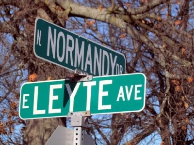
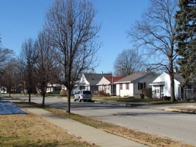
Regarding Normain Heights Subdivision. The battle-named streets of the subdivision are Ardennes Ave, Palau Ave, Bastogne Ave, Leyte Ave, St. Lo Ave, Guam Ave, and Normandy Dr.
Credits. This page was last revised on June 16, 2016. It was originally submitted on December 14, 2012, by Duane Hall of Abilene, Texas. This page has been viewed 534 times since then and 25 times this year. Photos: 1, 2, 3, 4. submitted on December 14, 2012, by Duane Hall of Abilene, Texas. • Bill Pfingsten was the editor who published this page.


