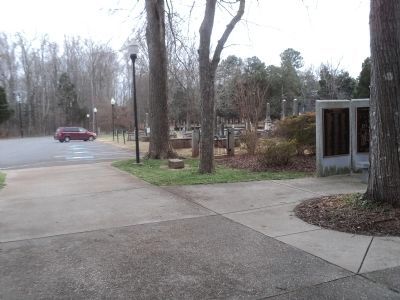
Huntersville in Mecklenburg County, North Carolina — The American South (South Atlantic)
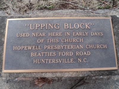
“Upping Block”
of this church
Presbyterian Church
Beatties Ford Road
Huntersville, N.C.
Topics. This historical marker is listed in this topic list: Churches & Religion.
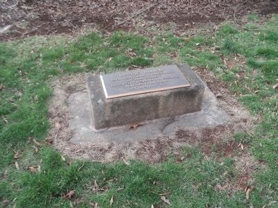
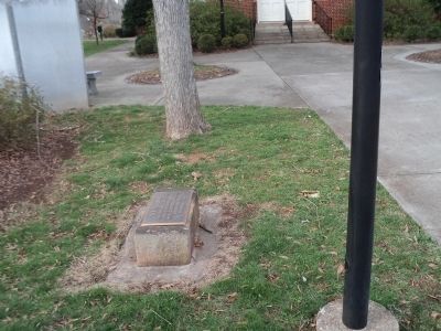
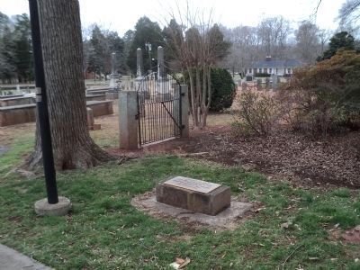
Location. 35° 21.965′ N, 80° 53.9′ W. Marker is in Huntersville, North Carolina, in Mecklenburg County. Marker can be reached from Beatties Ford Road north of Sample Road, on the right when traveling north. Marker is located in front of the Hopewell Presbyterian Church. Touch for map. Marker is at or near this postal address: 10500 Beaties Ford Road, Huntersville NC 28078, United States of America. Touch for directions.
Other nearby markers. At least 8 other markers are within walking distance of this marker. Hopewell Presbyterian Church (a few steps from this marker); William Bain Alexander (a few steps from this marker); John McKnitt Alexander (a few steps from this marker); The Servant Entrance (within shouting distance of this marker); William Graham (within shouting distance of this marker); In Memory of the Revolutionary War Patriots of Hopewell Presbyterian Church (within shouting distance of this marker); General William Lee Davidson (within shouting distance of this marker); The Oldest Cemetery and the Walls (within shouting distance of this marker). Touch for a list and map of all markers in Huntersville.
Credits. This page was last revised on June 16, 2016. It was originally submitted on February 12, 2013, by Bill Coughlin of Woodland Park, New Jersey. This page has been viewed 676 times since then and 32 times this year. Photos: 1, 2, 3, 4, 5. submitted on February 12, 2013, by Bill Coughlin of Woodland Park, New Jersey.
