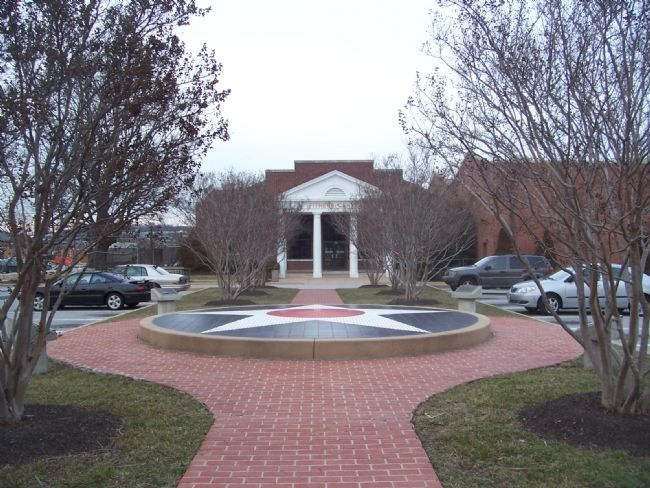
Joint Base Anacostia-Bolling (JBAB) in Southwest Washington in Washington, District of Columbia — The American Northeast (Mid-Atlantic)
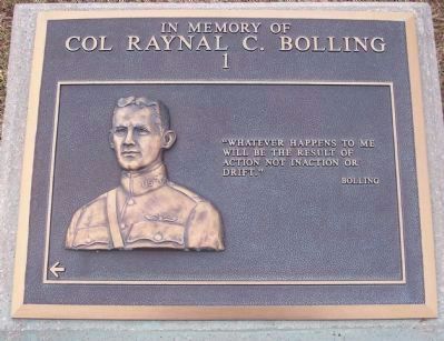
In Memory of Col. Raynal C. Bolling
[Panel No. 1]:
"Whatever happens to me will be the result of action, not inaction or drift."
Bolling
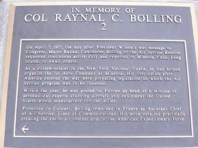
[Panel No. 2]:
On April 7, 1917, the day after President Wilson's war message to Congress, Major Raynal Cawthorne Bolling of the Air Service Reserve requested continuous active duty and reported to Mineola Field, Long Island to await orders.
As a citizen-soldier in the New York National Guard, he had helped organize the 1st Aero Company at Mineola. His first duties after America entered the war were preparing legislation on which the Air Service program was to be founded.
Within the year, he was posted to Europe as head of a mission of aeronautical experts studying aircraft and equipment the United States would manufacture for the Allies.
Promoted to Colonel, Bolling remained in France as Assistant Chief of Air Service, Lines of Communications. His work entailed practically creating the entire air combat arm of the American Expeditionary Force.
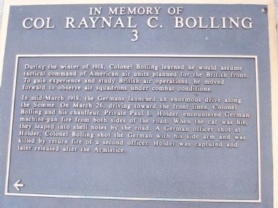
[Panel No. 3]:
During the winter of 1918, Colonel Bolling learned he would assume tactical command of American air units planned for the British front. To gain experience and study British air operations, he moved forward to observe air squadrons under combat conditions.
In mid-March 1918, the Germans launched an enormous drive along the Somme. On March 26, driving toward the front lines, Colonel Bolling and his chauffeur, Private Paul L. Holder, encountered German machine-gun fire from both sides of the road. A German officer shot at Holder; Colonel Bolling shot the German with his side arm and was killed by return fire of a second officer. Holder was captured and later released after the Armistice.
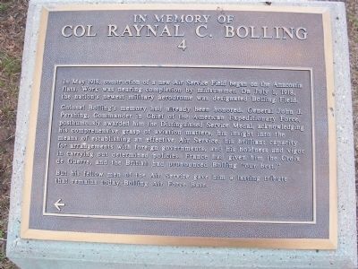
[Panel 4]:
In May 1918, construction of a new Air Service Field began on the Anacostia flats. Work was nearing completion by midsummer. On July 1, 1918, the nations's newest military aerodrome was designated Bolling Field.
Colonel Bolling's memory had already been honored. General John J. Pershing, Commader in Chief of the American Expeditionary Force posthumously awarded him the Distinguished Service Medal, acknowledging his comprehensive grasp of aviation matters, his insight into the means of establishing an effective Air Service, his brilliant capacity for arrangements with foreign governments, and his boldness and vigor in carrying outdetermined policies. France had given him the Croix de Guerre, and the British had pronounced Bolling "our best."
But his fellow men of the Air Service gave him a lasting tribute that remains today - Bolling Air Force Base.
Erected by U.S. Air Force.
Topics and series. This historical marker is listed in these topic lists: Air & Space • Heroes • Military • War, World I. In addition, it is included in the Distinguished Service Medal, and the Former U.S. Presidents: #28 Woodrow Wilson series lists. A significant historical year for this entry is 1917.
Location. 38° 50.453′ N, 77° 0.741′ W. Marker is in Southwest Washington in Washington, District of Columbia. It is in Joint Base Anacostia-Bolling (JBAB). Marker can be reached from McChord Street Southwest east of Brookley Avenue Southwest, on the left when traveling east. Touch for map. Marker is in this post office area: Washington DC 20032, United States of America. Touch for directions.
Other nearby markers. At least 8 other markers are within 2 miles of this marker, measured as the crow flies. Republic F-105D Thunderchief (approx. 0.3 miles away); Fort Carroll (approx. 0.4 miles away); Bolling Air Force Base (approx. 0.6 miles away); Congress Heights School (approx. 0.8 miles away); Fort Greble (approx. one mile away); St. Elizabeths Hospital Civil War Cemetery (approx. 1.1 miles away); "The Gun" (approx. 1.1 miles away); Welcome to St. Elizabeths East (approx. 1.1 miles away). Touch for a list and map of all markers in Southwest Washington.
More about this marker. Marker is in the a memorial garden in the Base Fitness Center's parking lot, on McChord Street between Brookley and Duncan Avenues.
From the Bolling AFB main entrance (the Arnold Gate, directly accessible from the intersection of South Capitol Street and Malcolm X Ave.), follow McDill Boulevard two blocks and turn left on to Brookley. Proceed south to the Fitness Center parking lot - on the left from McChord Street.
Visitors without military identification may be required to enter via the base's south entrance. Proceed south on South Capitol Street to the South Gate. After obtaining a visitor's pass, turn north on Duncan Avenue to McChord Street and turn left. Parking lot will be on the right.
Credits. This page was last revised on January 30, 2023. It was originally submitted on February 24, 2008, by Richard E. Miller of Oxon Hill, Maryland. This page has been viewed 3,320 times since then and 23 times this year. Last updated on March 24, 2013, by Richard E. Miller of Oxon Hill, Maryland. Photos: 1, 2, 3, 4, 5. submitted on February 24, 2008, by Richard E. Miller of Oxon Hill, Maryland. • Bill Pfingsten was the editor who published this page.
