Havre de Grace in Harford County, Maryland — The American Northeast (Mid-Atlantic)
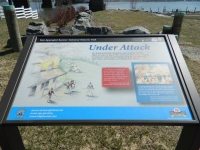
Under Attack
Star-Spangled Banner National Historic Trail
— National Park Service, U.S. Department of the Interior —
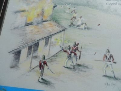
"The hills were covered with flying, frightened and half-dressed people...Behind us the flames and smoke of the burning village, as they circled and rolled about, (formed) dark thin clouds..."
-Daniel Mallory, Short Stories and Reminiscences of the Last Fifty Years, 1842
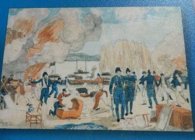
This famous image of the British plundering and burning Havre de Grace during the War of 1812 endures and shows first-hand the destruction the British caused. The building on fire to the left is Mrs. Sears' tavern. Rear Admiral Cockburn is in the middle with the sword.
Admiral Cockburn Burning and Plundering Havre de Grace, William Charles, ca. 1813.
Image courtesy Maryland Historical Society.
Erected by National Park Service, U.S. Department of the Interior.
Topics and series. This historical marker is listed in these topic lists: Disasters • War of 1812. In addition, it is included in the Star Spangled Banner National Historic Trail series list. A significant historical date for this entry is May 3, 1813.
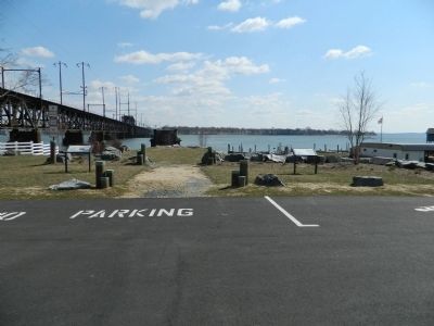
Location. 39° 33.155′ N, 76° 5.46′ W. Marker is in Havre de Grace, Maryland, in Harford County. Marker is on N. Union Avenue. Marker is in David Craig Park. When you stand in front of it, you are looking straight along the line of piers left from the dismantled double deck bridge. Touch for map. Marker is in this post office area: Havre de Grace MD 21078, United States of America. Touch for directions.
Other nearby markers. At least 8 other markers are within walking distance of this marker. Susquehanna Lower Ferry (a few steps from this marker); Sergeant Alfred B. Hilton Memorial (within shouting distance of this marker); a different marker also named Sergeant Alfred B. Hilton Memorial (within shouting distance of this marker); a different marker also named Sergeant Alfred B. Hilton Memorial (within shouting distance of this marker); American Legion Post No. 47 (within shouting distance of this marker); Flag Pole Memorial (within shouting distance of this marker); Susquehanna River Crossing (about 300 feet away, measured in a direct line); Major General Marquis De LaFayette (about 300 feet away). Touch for a list and map of all markers in Havre de Grace.
Credits. This page was last revised on January 30, 2021. It was originally submitted on April 4, 2013, by Bill Pfingsten of Bel Air, Maryland. This page has been viewed 672 times since then and 15 times this year. Last updated on January 30, 2021, by Carl Gordon Moore Jr. of North East, Maryland. Photos: 1, 2. submitted on April 4, 2013, by Bill Pfingsten of Bel Air, Maryland. 3, 4. submitted on April 5, 2013, by Bill Pfingsten of Bel Air, Maryland. • J. Makali Bruton was the editor who published this page.


