Danville, Virginia — The American South (Mid-Atlantic)
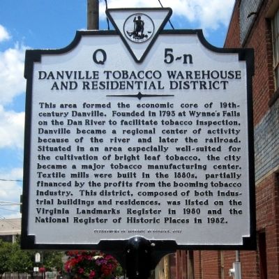
Danville Tobacco Warehouse and Residential District
Inscription.
This area formed the economic core of 19th-century Danville. Founded in 1793 at Wynne’s Falls on the Dan River to facilitate tobacco inspection, Danville became a regional center of activity because of the river and later the railroad. Situated in an area especially well-suited for the cultivation of bright leaf tobacco, the city became a major tobacco manufacturing center. Textile mills were built in the 1880s, partially financed by the profits from the booming tobacco industry. This district, composed of both industrial buildings and residences, was listed on the Virginia Landmarks Register in 1980 and the National Register of Historic Places in 1982.
Erected 2012 by Department of Historic Resources. (Marker Number Q 5-n.)
Topics and series. This historical marker is listed in this topic list: Industry & Commerce. In addition, it is included in the Virginia Department of Historic Resources (DHR) series list. A significant historical year for this entry is 1793.
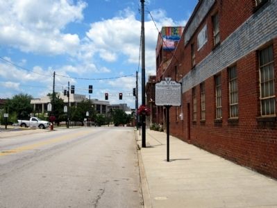
Location. 36° 35.215′ N, 79° 23.346′ W. Marker is in Danville, Virginia. Marker is on Craghead Street west of Wislon Street, on the right when traveling west. Touch for map. Marker is in this post office area: Danville VA 24541, United States of America. Touch for directions.
Other nearby markers. At least 8 other markers are within walking distance of this marker. Tobacco Heritage Mural (a few steps from this marker); The Worsham Street Bridge (about 400 feet away, measured in a direct line); Confederate Prison No. 6 (about 500 feet away); Prison Number 6 (about 500 feet away); Loyal Baptist Church (about 600 feet away); The Wreck of Old 97 (about 700 feet away); Bloody Monday (about 800 feet away); Danville System (approx. 0.2 miles away). Touch for a list and map of all markers in Danville.
Credits. This page was last revised on February 2, 2023. It was originally submitted on June 16, 2013, by Bernard Fisher of Richmond, Virginia. This page has been viewed 703 times since then and 32 times this year. Photos: 1, 2. submitted on June 16, 2013, by Bernard Fisher of Richmond, Virginia.

