Newport in Newport County, Rhode Island — The American Northeast (New England)
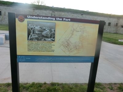
Understanding the Fort
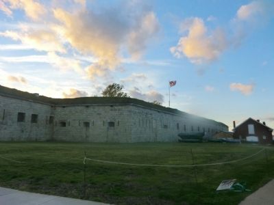
Fort Adams
Topics. This historical marker is listed in these topic lists: Forts and Castles • War of 1812.
Location. 41° 28.722′ N, 71° 20.184′ W. Marker is in Newport, Rhode Island, in Newport County. Marker is on Fort Adams Drive. Marker is located in Fort Adams State Park. Touch for map. Marker is in this post office area: Newport RI 02840, United States of America. Touch for directions.
Other nearby markers. At least 8 other markers are within walking distance of this marker. Fort Adams (here, next to this marker); Erich A. OíD. Taylor (a few steps from this marker); Fort Adams Foundation (within shouting distance of this marker); a different marker also named Fort Adams (within shouting distance of this marker); Life in Fort Adams (within shouting distance of this marker); A Giant Among Forts (within shouting distance of this marker); Building a Fortress (about 300 feet away, measured in a direct line); Returning Old Glory 2001 (about 300 feet away). Touch for a list and map of all markers in Newport.
Also see . . . Fort Adams - Wikipedia. (Submitted on July 1, 2013, by Bill Pfingsten of Bel Air, Maryland.)
Credits. This page was last revised on June 16, 2016. It was originally submitted on June 29, 2013, by Don Morfe of Baltimore, Maryland. This page has been viewed 417 times since then and 10 times this year. Photos: 1, 2. submitted on June 29, 2013, by Don Morfe of Baltimore, Maryland. • Bill Pfingsten was the editor who published this page.

