Payson in Gila County, Arizona — The American Mountains (Southwest)
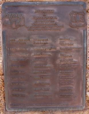
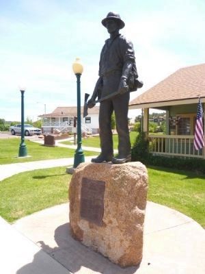
Mogollon Rim Country Firefighters Memorial
to
Firefighters
who made the
Ultimate Sacrifice
to protect our magnificent
Mogollon Rim Country
6/21/61 - Hatchery - Constantine (Corky) Kodz* - Forest Service Employee Aircraft Crash
6/21/61 - Hatchery - Arthur Goodnow* - Pilot Aircraft Crash
7/10/89 - Horton - Ernie Cachini - Zuni Crew Struck by Lightning
6/26/90 - Dude - Sandra J. Bachman - Perryville Crew Burned Over
6/26/90 - Dude - James E. Ellis - Perryville Crew Burned Over
6/26/90 - Dude - Joseph L. Chacon - Perryville Crew Burned Over
6/26/90 - Dude - Alex C. Contreras - Perryville Crew Burned Over
6/26/90 - Dude - James L. Denny - Perryville Crew Burned Over
6/26/90 - Dude - Curtis E. Springfield - Perryville Crew Burned Over
*Kodz and Goodnow perished together when their aircraft was struck by another aircraft.
Erected by City of Payson.
Topics. This historical marker and memorial is listed in this topic list: Horticulture & Forestry.
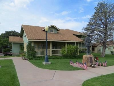
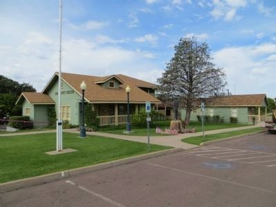
Location. 34° 13.936′ N, 111° 20.66′ W. Marker is in Payson , Arizona, in Gila County. Marker can be reached from South Green Valley Parkway, half a mile north of Main Street. Marker is located at the Green Valley Park and is visible from the parking lot immediately north of the museum. Touch for map. Marker is at or near this postal address: 700 South Green Valley Parkway, Payson AZ 85541, United States of America. Touch for directions.
Other nearby markers. At least 8 other markers are within walking distance of this marker. Zane Grey's Cabin (a few steps from this marker); William H. Goettl Memorial (within shouting distance of this marker); Ranger Station (within shouting distance of this marker); The Great 1970 Rim Country Flood Disaster (within shouting distance of this marker); Site of Rock Store (approx. 0.4 miles away); Historic Mail Trail (approx. 0.4 miles away); Site of the Herron Hotel (approx. 0.4 miles away); Ox Bow Inn (approx. 0.4 miles away). Touch for a list and map of all markers in Payson.
Credits. This page was last revised on June 16, 2016. It was originally submitted on August 15, 2010. This page has been viewed 1,591 times since then and 30 times this year. Last updated on August 8, 2013. Photos: 1, 2. submitted on August 15, 2010. 3, 4. submitted on August 8, 2013, by Bill Kirchner of Tucson, Arizona. • Syd Whittle was the editor who published this page.


