Richmond in Madison County, Kentucky — The American South (East South Central)
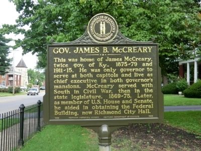
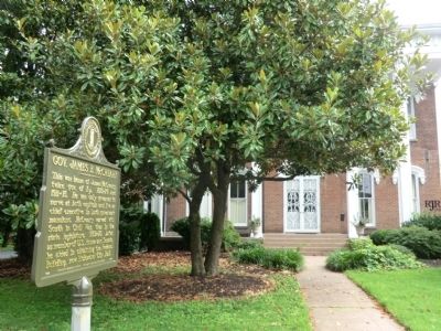
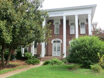
Gov. James B. McCreary
Erected 1989 by Kentucky Historical Society-Kentucky Department of Highways. (Marker Number 1846.)
Topics and series. This memorial is listed in this topic list: Government & Politics. In addition, it is included in the Kentucky Historical Society series list.
Location. 37° 44.994′ N, 84° 17.996′ W. Marker is in Richmond, Kentucky, in Madison County. Memorial is on West Main Street (Business U.S. 25) west of 5th Street, on the right when traveling west. Touch for map. Marker is at or near this postal address: 527 W Main St, Richmond KY 40475, United States of America. Touch for directions.
Other nearby markers. At least 8 other markers are within walking distance of this marker. Frances E. Beauchamp / Prohibition Advocate (approx. 0.2 miles away); James B. McCreary Hall of Justice (approx. 0.2 miles away); County Named, 1786 / County Formed (approx. 0.3 miles away); Samuel Freeman Miller (approx. 0.3 miles away); Madison County Courthouse 1862 (approx. 0.3 miles away); Pioneer Monument (approx. 0.3 miles away); Eastern Kentucky Univ. (approx. 0.6 miles away); Medal of Honor Winners (approx. 0.7 miles away). Touch for a list and map of all markers in Richmond.
Credits. This page was last revised on April 14, 2023. It was originally submitted on August 17, 2013, by Don Morfe of Baltimore, Maryland. This page has been viewed 447 times since then and 19 times this year. Photos: 1, 2, 3. submitted on August 17, 2013, by Don Morfe of Baltimore, Maryland. • Al Wolf was the editor who published this page.


