Croom in Prince George's County, Maryland — The American Northeast (Mid-Atlantic)
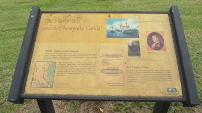
The War of 1812 and the Chesapeake Flotilla
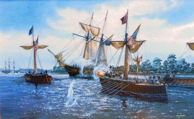
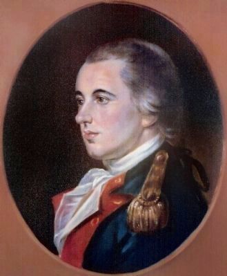
During the War of 1812, the British entered the Chesapeake Bay and threatened towns, plantations, and the cities of Washington and Baltimore. To counter this threat, Congress ordered the creation of the Chesapeake Flotilla under the command of Commodore Joshua Barney.
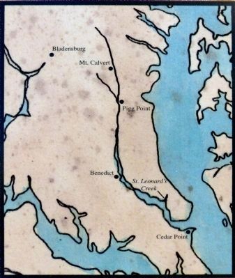
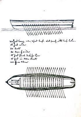
With 18 row barges and sail-powered gunboats, the Chesapeake Flotilla was a small force compared to the powerful British Navy. In its first battle in June 1814, the flotilla was forced to retreat and was trapped in St. Leonard's Creek on the lower Patuxent River. Finally after numerous skirmishes, Barney and his flotilla escaped and fled upriver. The British continued their assaults through the summer.
The Flames of War
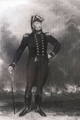
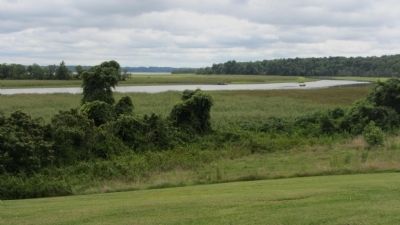
On August 22, 1814, to avoid the capture of his flotilla, Barney set it aflame as British Rear Admiral George Cockburn watched from Mount Calvert. Barney and his men marched to Washington, collected reinforcements, and put up a heroic fight at the Battle of Bladensburg. The British prevailed and marched on to Washington where they burned the Capitol, White House, and other federal buildings.
Topics. This historical marker is listed in this topic list: War of 1812. A significant historical month for this entry is June 1814.
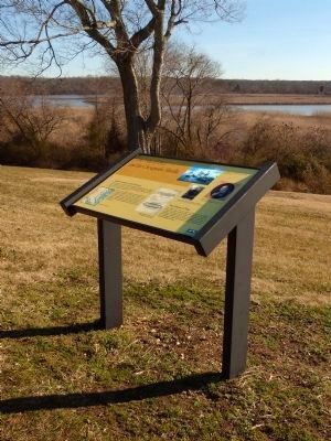
Location. 38° 47.071′ N, 76° 42.913′ W. Marker is in Croom, Maryland, in Prince George's County. Marker can be reached from Mount Calvert Road, 0.4 miles east of McClure Road. Marker is in the Mount Calvert Historical and Archaeological Park, about 100 feet south of the parking area. Touch for map. Marker is in this post office area: Upper Marlboro MD 20772, United States of America. Touch for directions.
Other nearby markers. At least 8 other markers are within walking distance of this marker. Chesapeake Beach Railway (here, next to this marker); Explosive Scene (a few steps from this marker); African-Americans at Mount Calvert (within shouting distance of this marker); Mount Calvert Manor (within shouting distance of this marker); Mount Calvert Federal Period Plantation House (within shouting distance of this marker); Billingsley's Point (about 300 feet away, measured in a direct line); Mount Calvert, Early Town (about 400 feet away); Woodland Indians (about 400 feet away). Touch for a list and map of all markers in Croom.
Credits. This page was last revised on June 16, 2016. It was originally submitted on September 1, 2013, by F. Robby of Baltimore, Maryland. This page has been viewed 780 times since then and 29 times this year. Photos: 1. submitted on September 1, 2013, by F. Robby of Baltimore, Maryland. 2, 3. submitted on February 6, 2015, by Allen C. Browne of Silver Spring, Maryland. 4. submitted on September 1, 2013, by F. Robby of Baltimore, Maryland. 5, 6, 7, 8. submitted on February 6, 2015, by Allen C. Browne of Silver Spring, Maryland. 9. submitted on September 1, 2013, by F. Robby of Baltimore, Maryland.
