Fillmore in Millard County, Utah — The American Mountains (Southwest)
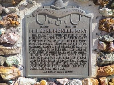
Fillmore Pioneer Fort
Erected 1935 by East Millard County Company, Daughters of Utah Pioneers. (Marker Number 8.)
Topics and series. This historical marker is listed in these topic lists: Forts and Castles • Settlements & Settlers. In addition, it is included in the Daughters of Utah Pioneers series list. A significant historical month for this entry is November 1851.
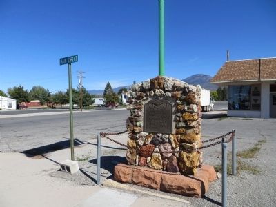
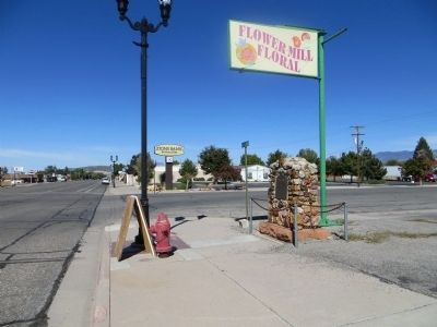
Location. 38° 58.124′ N, 112° 19.409′ W. Marker is in Fillmore, Utah, in Millard County. Marker is at the intersection of South Main Street and East Center Street, on the right when traveling north on South Main Street. Marker is on the southeast corner. Touch for map. Marker is in this post office area: Fillmore UT 84631, United States of America. Touch for directions.
Other nearby markers. At least 8 other markers are within 7 miles of this marker, measured as the crow flies. Utah’s First Capitol (about 600 feet away, measured in a direct line); Land of the Yuta (about 700 feet away); Little Rock Schoolhouse (approx. 0.2 miles away); Edward Partridge, Jr. House (approx. 0.3 miles away); Capitol (approx. 0.7 miles away); Dominguez - Escalante Trail (approx. ¾ mile away); Fillmore's Adobe Church (approx. ¾ mile away); Chief Walkara (approx. 7.1 miles away). Touch for a list and map of all markers in Fillmore.
Credits. This page was last revised on June 16, 2016. It was originally submitted on October 21, 2013, by Bill Kirchner of Tucson, Arizona. This page has been viewed 639 times since then and 54 times this year. Photos: 1, 2, 3. submitted on October 21, 2013, by Bill Kirchner of Tucson, Arizona. • Syd Whittle was the editor who published this page.


