Chestertown in Kent County, Maryland — The American Northeast (Mid-Atlantic)
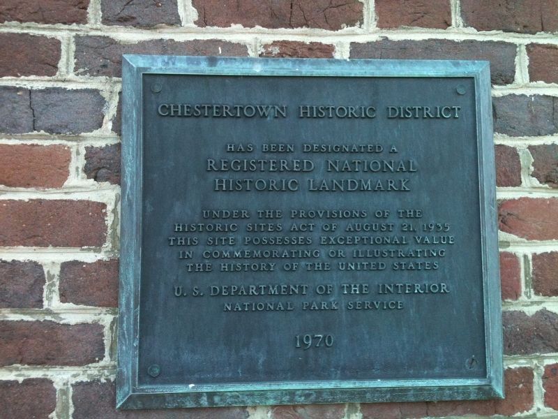
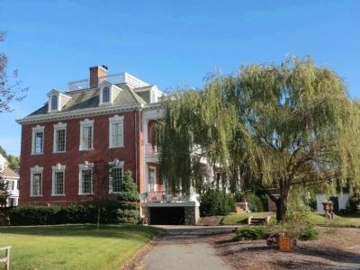
Chestertown Historic District
Topics and series. This memorial is listed in these topic lists: Patriots & Patriotism • War of 1812. In addition, it is included in the National Historic Landmarks series list. A significant historical year for this entry is 1935.
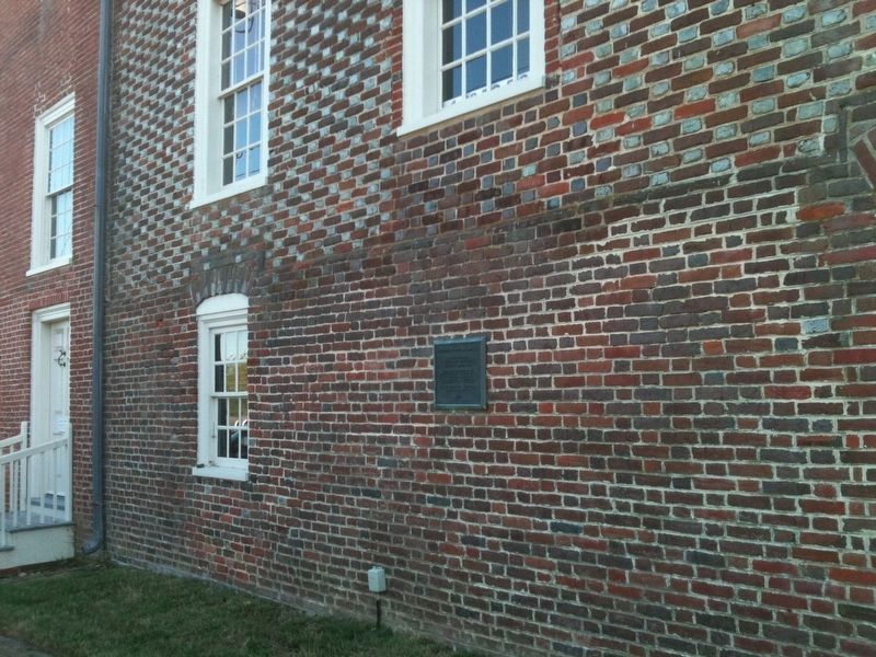
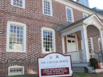
Location. 39° 12.434′ N, 76° 3.834′ W. Marker is in Chestertown, Maryland, in Kent County. Memorial is on High Street. The marker is affixed to the side wall of the Custom House located on High Street. The front entrance to the Custom House is on South Water Street. Touch for map. Marker is in this post office area: Chestertown MD 21620, United States of America. Touch for directions.
Other nearby markers. At least 8 other markers are within walking distance of this marker. Widehall (within shouting distance of this marker); Chestertown Memorial (within shouting distance of this marker); Royal Port of Entry (within shouting distance of this marker); Revolution on the River (about 300 feet away, measured in a direct line); We honor them here (about 400 feet away); Chestertown Vol. Fire Co. (about 600 feet away); Worrell’s Tavern (about 600 feet away); Charles Sumner Post #25, G.A.R. (about 700 feet away). Touch for a list and map of all markers in Chestertown.
Additional commentary.
1. National Register of Historic Places
Chestertown Historic District (added 1970 - - #70000263)
Roughly bounded by Maple Ave., Chester River, Cannon and Cross Sts. , Chestertown
• Historic Significance: Architecture/Engineering
• Architect, builder, or engineer: Unknown
• Architectural Style: Georgian, Federal
• Area of Significance: Architecture
• Period of Significance: 1750-1799
• Owner: Private
• Historic Function: Domestic
• Historic Sub-function: Single Dwelling
• Current Function: Domestic
• Current Sub-function: Single Dwelling
— Submitted October 31, 2013.
Photographed By Don Morfe, October 27, 2013
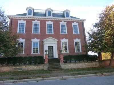
5. Chestertown Historic District Marker
101 Water Street known as Widehall is located in the Chestertown Historical District. It was the home of Judge Ezekiel Forman Chambers (1788-1867) who commanded a company under Lt. Col. Philip Reed at the Battle of Caulk’s Field.
Credits. This page was last revised on January 19, 2022. It was originally submitted on October 30, 2013, by Don Morfe of Baltimore, Maryland. This page has been viewed 565 times since then and 16 times this year. Photos: 1. submitted on January 10, 2022, by Adam Margolis of Mission Viejo, California. 2. submitted on October 30, 2013, by Don Morfe of Baltimore, Maryland. 3. submitted on January 10, 2022, by Adam Margolis of Mission Viejo, California. 4, 5, 6. submitted on October 30, 2013, by Don Morfe of Baltimore, Maryland. • Bill Pfingsten was the editor who published this page.
