Woodside in San Mateo County, California — The American West (Pacific Coastal)
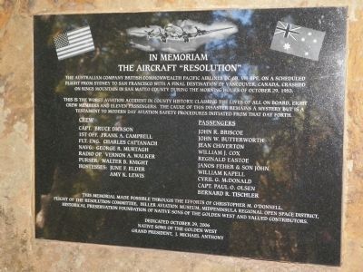
In Memoriam The Aircraft "Resolution"
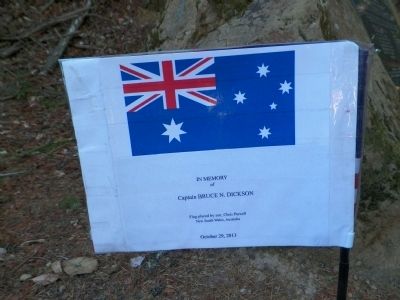
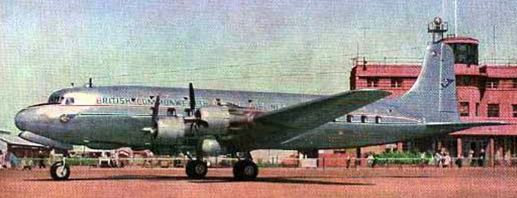
The Australian company British Commonwealth Pacific Airlines DC-6B, VH-BPE, on a scheduled flight from Sydney to San Francisco with a final destination of Vancouver, Canada, crashed on Kings Mountain in San Mateo County during the morning hours of October 29, 1953.
This is the worst aviation accident in county history, claiming the lives of all on board, eight crew members and eleven passengers. The cause of this disaster remains a mystery but is a testament to modern day aviation safety procedures initiated from that day forth.
Crew
Capt. Bruce Dickson • 1st Off. Frank A. Campbell • Flt. Eng. Charles Cattanach • Navg. George R. Murtagh • Radio Op. Vernon A. Walker • Purser: Walter B. Knight • Hostesses: June F. Elder • Amy K. Lewis
Passengers
John R. Briscoe • John W. Butterworth • Jean Chiverton • William J. Cox • Reginald Eastoe • Janos Fehr & son John • William Kapell • Cyril G. McDonald • Capt. Paul O. Olsen • Bernard R. Tischler
This memorial made possible through the efforts of Christopher M. O'Donnell, Flight of the Resolution Committee, Hiller Aviation Museum, Midpeninsula Regional Open Space District, Historical Preservation Foundation of Native Sons of the Golden West and valued contributers.
Erected 2006 by Native Sons of the Golden West.
Topics and series. This historical marker is listed in these topic lists: Air & Space • Disasters. In addition, it is included in the Native Sons/Daughters of the Golden West series list. A significant historical date for this entry is October 29, 1852.
Location. 37° 24.376′ N, 122° 19.205′ W. Marker is in Woodside, California, in San Mateo County. Marker can be reached from Skyline Boulevard (California Route 35). Take State Hwy 92 west from Interstate 280 to Skyline Blvd./State Hwy 35. Go south on 35 for 8.6 miles to the Skegg's Point parking area. Alternatively, travel west on State Hwy 84 from Interstate 280 to Skyline Blvd./State Hwy 35 and go north on 35 for 3.9 miles to Skegg's Point.
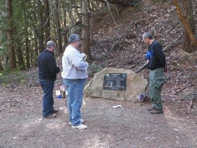
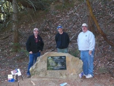
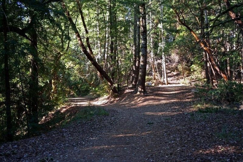
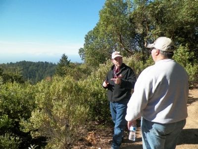
Leave your car at Skegg's point and walk or bike north on Skyline for 100 or 200 feet to the trailhead on the west side of the road. Grab a brochure at the trailhead sign, there's a map on the inside. Follow the trail on the extreme left, this is Fir Trail. Fir Trail is paved to the top of the hill and the second gate. Continue on Fir Trail (mind the signs at the forks) for about a mile to the fork on the right to the vista point. The monument is at the fork.
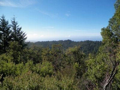
This is an easy walk as there is very little change in elevation. From the monument you can go up to the vista point for a view of the country where the crash occurred, down the hill to the Resolution Trail where pieces of the wreckage can still be found, back to your car or wherever you like. Touch for map. Marker is in this post office area: Redwood City CA 94062, United States of America. Touch for directions.
Other nearby markers. At least 8 other markers are within 4 miles of this marker, measured as the crow flies. Methusela (approx. 0.9 miles away); Woodside Store (approx. 2.9 miles away); Folger Stable c.1905 (approx. 3.2 miles away); The Chinese Walls (approx. 3.2 miles away); First Saw Mill (approx. 3.6 miles away); Gaspar de Portolá Expedition Campsite (approx. 4 miles away); Town of West Union (approx. 4 miles away); Independence Hall (approx. 4.1 miles away). Touch for a list and map of all markers in Woodside.
Also see . . .
1. The Crash of British Commonwealth Pacific Airlines Flight 304. Check Six website entry:
Delivered to BCPA on November 26th, 1948, the "Resolution" was often chartered from BCPA to ANA to provide extra capacity at peak times. And thus, on the evening of October 28th, 1953, the "Resolution" left Sydney on its bi-weekly run of the "Southern Cross" route. After the traditional stops in Fiji and Canton, the plane arrived in Honolulu. With a flight of nine and a half hours ahead for the plane, the flight crew switched, and Captain Bruce Dickson took command of the plane. With over 10,000 hours of experience in the air, the 34 year old had flown this route for BCPA for several years.
Captain Dickson and his first officer and co-pilot, Frank Campbell, 28, checked the weather on the route, and learned that there were no adverse flight conditions for their route, or in the San Francisco Bay area. However, there was a low overcast layer, obstructing visual reference with the ground, and so an instrument approach in Milles Field, the airport at San Francisco, was going to be required. With over 100, combined, of such approaches flown into Mills Field by the flight crew, they was no worries as the "Resolution" flew east towards the continent at 10:59 PM. (Submitted on November 21, 2013, by James King of San Miguel, California.)
2. Flight of the Resolution. Dedicated website homepage:
Thursday October 29th, 1953 was to unfold as a significant day in the aviation history of San Mateo County, home of the busy San Francisco International Airport. Unfortunately it was to be a day of tragedy. A British Commonwealth Pacific Airlines DC6, on the last leg of a trans-pacific flight, made a fatal navigational error and crashed into the coastal hills near Kings Mountain. This event remains the worst aviation crash in San Mateo County and took 19 lives, 11 passengers and 8 crew.
Although more than 50 years have passed since this tragic event, no memorial or commemorative display had been erected to hold it in the public's remembrance. Our goal was to provide
the effort and funds for a memorial exhibit. With assistance from the Native Sons of the Golden West, an organization dedicated to the preservation of California history, and the Midpeninsula Regional Open Space Distirct a commemorative plaque was dedicated June 27th, 2009. (Submitted on November 21, 2013, by James King of San Miguel, California.)
3. El Corte de Madera Open Space Preserve. Midpeninsula Regional Open Space District website entry:
This is information about the trails and environment where the crash occurred and the monument is placed. (Submitted on November 18, 2013, by James King of San Miguel, California.)
4. Trail Map of the Corte de Madera Preserve. Midpeninsula Regional Open Space District website entry (PDF) (Submitted on November 18, 2013, by James King of San Miguel, California.)
5. Skegg's Point (Suggestion #1). Bay Area Mountain Bike Rides website entry:
This ride starts out by following Tafoni Trail. This one is a curvy fire road that undulates a little bit but does not experience any drastic change in elevation. Then you get on Fir Trail, which is a similar one (as far as the portion of that trail included in this particular ride is concerned; otherwise, it gets very different and steep later on). Along Fir Trail there's a small clearing where you'll find a memorial plaque in memory of the people who lost their lives in the crash
of the aircraft Resolution in this park. The actual spot of the crash is along Resolution Trail; hence the name. You'll also notice a short connector trail departing from this clearing. This leads to a small vista point where some limited views are available to neighboring ridges toward the southwest, as well as down to sections of Resolution Trail.... (Submitted on November 18, 2013, by James King of San Miguel, California.)
Credits. This page was last revised on June 11, 2023. It was originally submitted on November 18, 2013, by James King of San Miguel, California. This page has been viewed 1,800 times since then and 74 times this year. Last updated on November 21, 2013, by James King of San Miguel, California. Photos: 1, 2, 3. submitted on November 18, 2013, by James King of San Miguel, California. 4. submitted on May 9, 2021, by Larry Gertner of New York, New York. 5, 6, 7. submitted on November 18, 2013, by James King of San Miguel, California. 8. submitted on May 9, 2021, by Larry Gertner of New York, New York. • Syd Whittle was the editor who published this page.
