Gramercy in St. James Parish, Louisiana — The American South (West South Central)
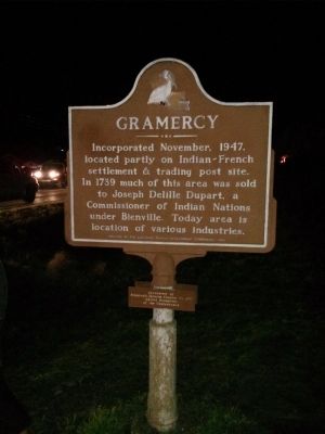
Gramercy
Sponsored by Stonewall Jackson Chapter No. 1135, United Daughters of the Confederacy
Erected 1968 by Louisiana Tourist Development Commission.
Topics and series. This historical marker is listed in this topic list: Settlements & Settlers. In addition, it is included in the United Daughters of the Confederacy series list. A significant historical year for this entry is 1947.
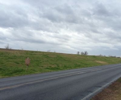
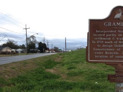
Location. 30° 2.543′ N, 90° 41.258′ W. Marker is in Gramercy, Louisiana, in St. James Parish. Marker is at the intersection of East Jefferson Highway (State Highway 44) and Ellis Street, on the right when traveling east on East Jefferson Highway. Located at the foot of the Mississippi River levee. Touch for map. Marker is at or near this postal address: 111 LA-44, Gramercy LA 70052, United States of America. Touch for directions.
Other nearby markers. At least 8 other markers are within 3 miles of this marker, measured as the crow flies. Lutcher (approx. half a mile away); Colonial Sugars Refinery (approx. 0.6 miles away); Lutcher United Methodist Church (approx. 0.7 miles away); Golden Grove Plantation (approx. 0.9 miles away); Bald Cypress (approx. 2.1 miles away); Willow (approx. 2.1 miles away); Sardegna House (approx. 2.2 miles away); Allées Gwendolyn Midlo Hall (approx. 2.2 miles away). Touch for a list and map of all markers in Gramercy.
Credits. This page was last revised on June 16, 2016. It was originally submitted on January 6, 2014, by Mike Waldon of Lafayette, Louisiana. This page has been viewed 662 times since then and 27 times this year. Photos: 1. submitted on January 6, 2014, by Mike Waldon of Lafayette, Louisiana. 2, 3. submitted on February 22, 2015, by Mark Hilton of Montgomery, Alabama. • Bernard Fisher was the editor who published this page.


