Black Rock in Buffalo in Erie County, New York — The American Northeast (Mid-Atlantic)
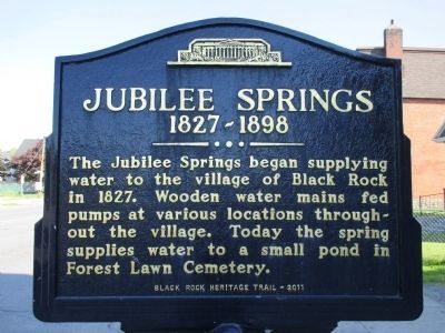
Jubilee Springs
1827 - 1898
Inscription.
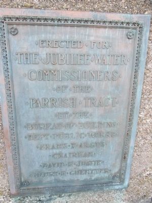
The Jubilee Springs began supplying water to the village of Black Rock in 1827. Wooden water mains fed pumps at various locations throughout the village. Today the spring supplies water to a small pond in Forest Lawn Cemetery. Black Rock Heritage Trail - 2011.
Erected 2011.
Topics. This historical marker is listed in these topic lists: Charity & Public Work • Settlements & Settlers. A significant historical year for this entry is 1827.
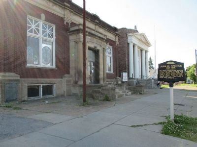
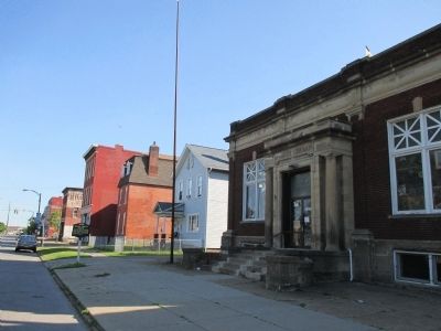
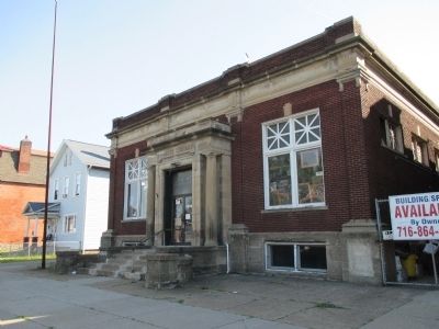
Location. 42° 56.198′ N, 78° 54.208′ W. Marker is in Buffalo, New York, in Erie County. It is in Black Rock. Marker is at the intersection of Niagara Street (New York State Route 266) and Hamilton Street, on the left when traveling north on Niagara Street. Marker is slightly north of the Hamilton Street intersection. Touch for map. Marker is at or near this postal address: 1932 Niagara Street, Buffalo NY 14207, United States of America. Touch for directions.
Other nearby markers. At least 8 other markers are within walking distance of this marker. Buffalo and Niagara Falls Railroad (within shouting distance of this marker); Burning of Blackrock and Buffalo (about 800 feet away, measured in a direct line); Black Rock (approx. 0.2 miles away); Black Rock Harbor (approx. 0.2 miles away); Market Square (approx. 0.2 miles away); a different marker also named Market Square (approx. 0.2 miles away); Stephen W. Howell (approx. 0.2 miles away); Jacob Smith House and Tavern (approx. 0.2 miles away). Touch for a list and map of all markers in Buffalo.
Also see . . . Jubilee Springs - Buffalo Architecture and History. (Submitted on June 19, 2014, by Anton Schwarzmueller of Wilson, New York.)
Credits. This page was last revised on February 16, 2023. It was originally submitted on June 19, 2014, by Anton Schwarzmueller of Wilson, New York. This page has been viewed 874 times since then and 54 times this year. Photos: 1, 2, 3, 4, 5. submitted on June 19, 2014, by Anton Schwarzmueller of Wilson, New York. • Bill Pfingsten was the editor who published this page.
