Everettville in Monongalia County, West Virginia — The American South (Appalachia)
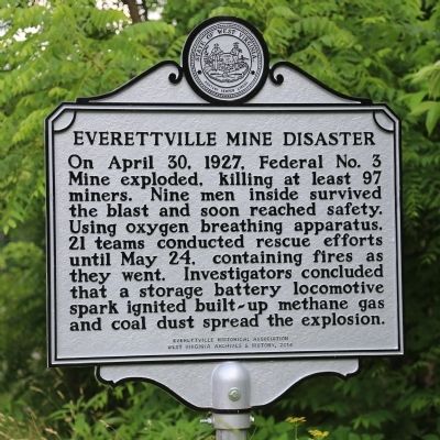
Everettville Mine Disaster
On April 30, 1927, Federal No. 3 Mine exploded, killing at least 97 miners. Nine men inside survived the blast and soon reached safety. Using oxygen breathing apparatus, 21 teams conducted rescue efforts until May 24, containing fires as they went. Investigators concluded that a storage-battery locomotive spark ignited built-up methane gas and coal dust spread the explosion.
Erected 2014 by Everettville Historical Association and West Virginia Archives and History.
Topics and series. This historical marker is listed in this topic list: Industry & Commerce. In addition, it is included in the West Virginia Archives and History series list. A significant historical month for this entry is April 1786.
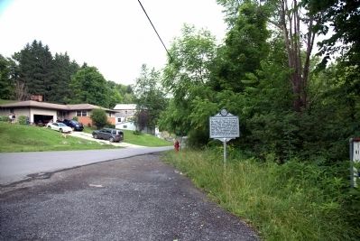
Location. 39° 34.632′ N, 80° 5.803′ W. Marker is in Everettville, West Virginia, in Monongalia County. Marker is at the intersection of River Road (County Route 45) and Fairmont Road (U.S. 19) on River Road. Touch for map. Marker is in this post office area: Morgantown WV 26501, United States of America. Touch for directions.
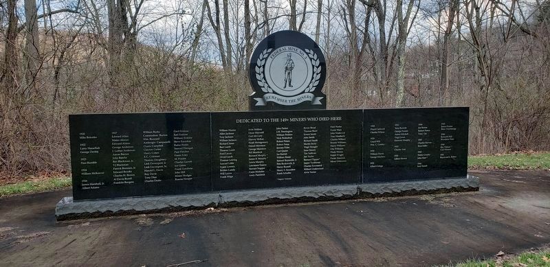
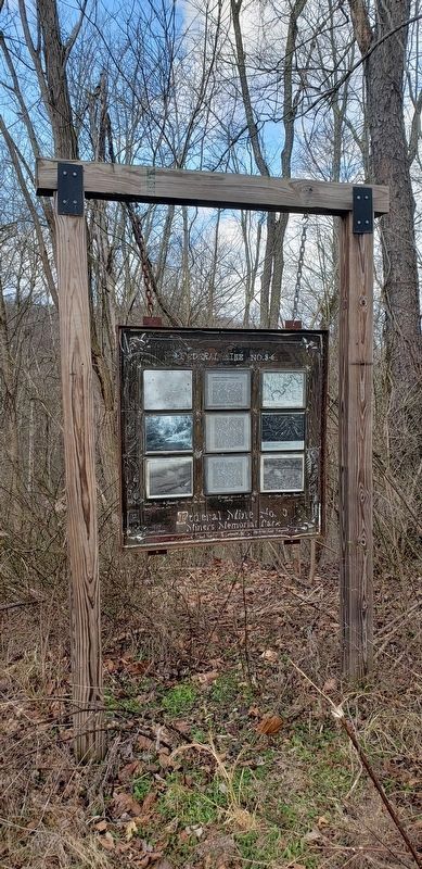
Other nearby markers. At least 8 other markers are within 4 miles of this marker, measured as the crow flies. In Memory of James Arnett (approx. 0.3 miles away); Marion County / Monongalia County (approx. 0.7 miles away); Federal Mine No. 3 (approx. 2 miles away); Lynch Chapel (approx. 2.8 miles away); Veterans Memorial (approx. 3˝ miles away); To the Founders of the West Virginia State Medical Association Organized at Fairmont (approx. 3˝ miles away); David Morgan (approx. 3.6 miles away); Fort Pawpaw (approx. 3.6 miles away).
Also see . . . Everettville Mine Disaster in Their Own Words. West Virginia University Library website entry (Submitted on June 28, 2022, by Larry Gertner of New York, New York.)
Credits. This page was last revised on June 28, 2022. It was originally submitted on June 21, 2014, by J. J. Prats of Powell, Ohio. This page has been viewed 840 times since then and 77 times this year. Photos: 1, 2. submitted on June 21, 2014, by J. J. Prats of Powell, Ohio. 3, 4. submitted on March 13, 2020, by Bradley Owen of Morgantown, West Virginia.


