Willard in Torrance County, New Mexico — The American Mountains (Southwest)
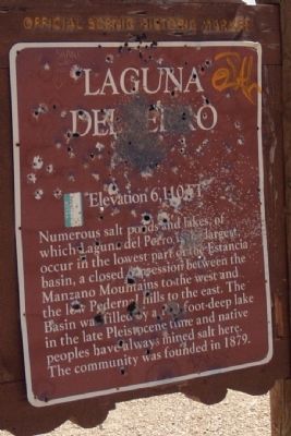
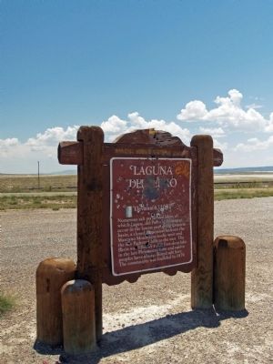
Laguna Del Perro
Elevation 6,110 FT
Topics. This historical marker is listed in these topic lists: Notable Places • Settlements & Settlers. A significant historical year for this entry is 1879.
Location. 34° 35.891′ N, 105° 55.177′ W. Marker is in Willard, New Mexico, in Torrance County. Marker is on Road 60. Touch for map. Marker is in this post office area: Willard NM 87063, United States of America. Touch for directions.
Other nearby markers. At least 3 other markers are within 15 miles of this marker, measured as the crow flies. Estancia (approx. 13.3 miles away); a different marker also named Estancia (approx. 13.6 miles away); a different marker also named Estancia (approx. 14.1 miles away).
More about this marker. Marker has been vandalized, and has been reported via email to the State of New Mexico Historical Markers division.
Credits. This page was last revised on June 16, 2016. It was originally submitted on July 20, 2014, by Maribeth Robison of Moriarty, New Mexico. This page has been viewed 2,284 times since then and 179 times this year. Photos: 1, 2. submitted on July 20, 2014, by Maribeth Robison of Moriarty, New Mexico. • Syd Whittle was the editor who published this page.

