Sackets Harbor in Jefferson County, New York — The American Northeast (Mid-Atlantic)
The British Observation Point
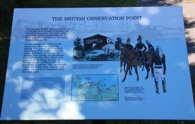
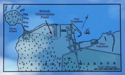
As the British advanced on the navy yard, they captured the Albany Volunteers' field artillery. Their lack of an artillery crew on shore, however, prevented the British from taking the American fort and blockhouses. There was general firing along the line as British troops collided with the American dragoons. The Americans fought for every yard, falling back slowly toward toward Fort Tompkins and the navy yard.
Farming and Cottages
Since the War of 1812, the battlefield at Sackets Harbor has been used as farmland, has served as a tank farm, and has been divided into residential building lots.
Erected by the State of New York. (Marker Number 4.)
Topics. This historical marker is listed in this topic list: War of 1812. A significant historical year for this entry is 1812.
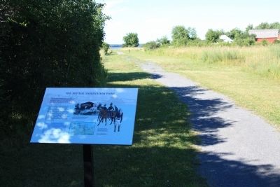
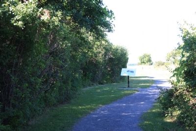
Location. 43° 56.806′ N, 76° 7.761′ W. Marker is in Sackets Harbor, New York, in Jefferson County. Marker can be reached from Washington Street east of Ontario Street. This historical marker is located in Sackets Harbor Battlefield State Park, along the walking path that leads from the battlefield to the site of Fort Kentucky where the British assault on the defenses of Sackets Harbor began. Touch for map. Marker is in this post office area: Sackets Harbor NY 13685, United States of America. Touch for directions.
Other nearby markers. At least 8 other markers are within walking distance of this marker. British Attack on Sackets Harbor (within shouting distance of this marker); Smoothbore Muzzle Loader Cannon (within shouting distance of this marker); The Landing Area (within shouting distance of this marker); Fort Kentucky (about 400 feet away, measured in a direct line); The British Advance is Halted (about 400 feet away); American Dragoon Commander Wounded (approx. 0.2 miles away); a different marker also named Smoothbore Muzzle Loader Cannon (approx. ¼ mile away); Welcome to Sackets Harbor Battlefield (approx. ¼ mile away). Touch for a list and map of all markers in Sackets Harbor.
Also see . . . Sackets Harbor Battlefield - National Archives. National Register of Historic Places documentation (Submitted on February 25, 2024, by Anton Schwarzmueller of Wilson, New York.)
Credits. This page was last revised on February 25, 2024. It was originally submitted on August 1, 2014, by Dale K. Benington of Toledo, Ohio. This page has been viewed 352 times since then and 17 times this year. Photos: 1, 2, 3, 4, 5. submitted on August 2, 2014, by Dale K. Benington of Toledo, Ohio.
